
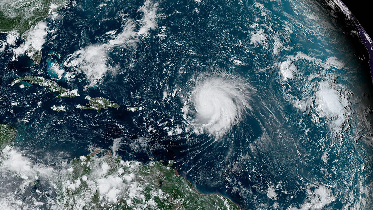
Many questions still remain about the weak tropical wave crossing Puerto Rico and how it could affect South Florida this weekend. But here’s what we do know.
This story is no longer being updated. Check here for the latest.
Many questions still remain about the weak tropical wave crossing Puerto Rico and how it could affect South Florida this weekend. But here’s what we do know.
Watch NBC6 free wherever you are
The National Hurricane Center on Friday gave the wave a 80 percent chance of becoming a tropical depression over the next seven days as it approaches the waters around Florida.
Get local news you need to know to start your day with NBC 6's News Headlines newsletter.
On Wednesday, models were still not in complete agreement (which meant our confidence remained on the lower side). But since there has been some movement of the models beginning to show early signs of consensus.
The biggest difference is that both the GFS and EURO models have showed more of the western solution versus the eastern solution as of Wednesday evening.
The eastern solution, which the EURO favored all week, had the system moving up the east coast of Florida, but remaining offshore before intensifying on its way toward Cape Hatteras. This would actually be a lower-impact scenario for our region because it keeps the center of the storm and the storm’s active right side offshore, leaving South Florida with a little rain and wind at most.
The western solution is more impactful simply because it opens up the southerly winds and the tropical moisture, enhancing rain chances. While our region still wouldn’t see any immediate storm development with either the EURO or GFS models, we would see is tropical moisture surging toward the Gulf Of Mexico. The system might have a chance to get stronger in the Gulf or move back across the Peninsula and develop off of Florida’s east coast next week before moving north.
HURRICANE SEASON

But, regardless of how the system develops, it looks like the biggest impact for South Florida will be enhanced rain. Sunday looks like the bull’s eye, but the highest rain chances will be toward Key West. In the coming days, we’ll see if the moisture arrives as early as Saturday, or if it is more of a Sunday-Monday rain event.
There is one last scenario: the system could track so far south of South Florida into the Gulf that we see slightly higher rain chances but nothing more than that.
So, we still have more details to work out, but enhanced rain on Sunday, possibly as early as Saturday and especially in The Keys is the early call for the weekend.
Meanwhile, Gov. Ron DeSantis issued a state of emergency for several counties in the state, including Monroe, Collier, Orange, Pinellas, Polk and many more. Miami-Dade and Broward were not included in the list.