South Florida could see warmer temperatures Saturday, thanks to the same jet stream that elevated the wind flow which has fueled the fires in Southern California.
This upper-level low on the West Coast will eventually start to eject to the east. As it does so, it will push the winter storm that is developing in the New Mexico, Texas, and Oklahoma east. The cold air that is funneling in with the dip in the jet stream and the moisture coming from the Gulf of Mexico will lead to the winter weather conditions to be much farther south than the last system that moved in a similar direction.
Watch NBC6 free wherever you are
HOW WILL SOUTH FLORIDA BE IMPACTED?
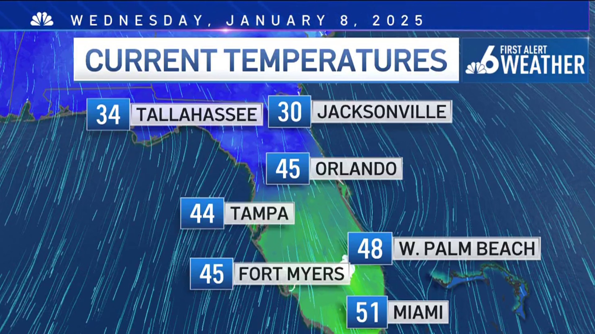
This means for South Florida, the northerly wind that is keeping us chilly today will begin to shift. The winds will be easterly into Friday. This to allow the warming trend to start by the afternoon. The south wind will allow us to reach near 80 on Saturday for a high temperature before the cold front comes through. A few stray showers are possible as the humidity climbs back up ahead of the front. The difference, we won’t be as cold behind the front. We’ll fall back to near normal with highs in the mid-70s and overnight lows in the 60s.
Get local news you need to know to start your day with NBC 6's News Headlines newsletter.
SANTA ANA WINDS EXPLAINED
The Santa Ana set up that occurred in Southern California was out of the ordinary. It is normal to have a high pressure or low-pressure system at the surface that increases the wind flow over the mountains. Winds typically can gust up to 60 mph during these events. As the wind rushes down the mountains, it speeds up, warms, and dries the surface in its wake.
The event that lasted Tuesday and into Wednesday was extreme. There was also a low-pressure system in the upper levels of the atmosphere that added to the wind flow. The jet stream added an extra punch to the wind that was transported from the high level of the atmosphere to the surface. On Monday, the National Weather Service in LA put out a red flag warning with the elevated threat stating it would be a Particularly Dangerous Situation with winds gusting 80 to 100 mph through Wednesday.
Weather Stories
Wildfires thrive on low humidity and wind. They spread much faster in the windy weather, and it makes it much harder for fighters to set lines to stop the fires. The embers can be blown well away from the prime fire and start new fires when the wind is elevated.


