
NBC6’s Adam Berg has your forecast for today, Monday, July 1, 2024.
We are tracking another surge of showers and thunderstorms early Monday, but I think we get some breaks later in the morning.
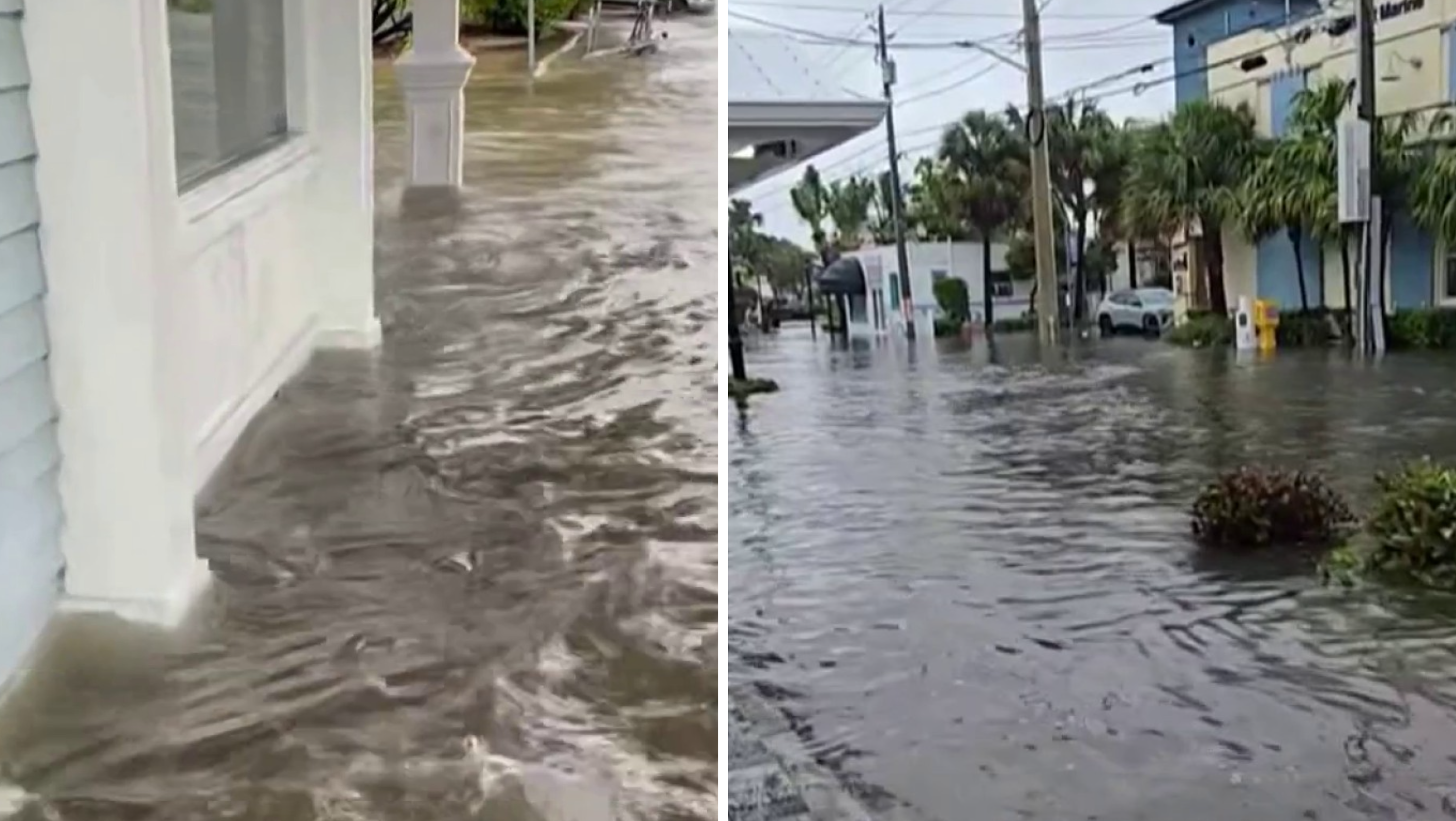
Spotty flooding could occur, especially near the hard hit areas on Sunday.
Watch NBC6 free wherever you are
Look for morning upper-70s to push into the 90 degree range later in the day.
The forecast calls for mainly morning, scattered showers for the next few days.
Get local news you need to know to start your day with NBC 6's News Headlines newsletter.
Guidance does seem to hint at lower rain chances by the middle and especially later part of the week and this may continue into the weekend.
Temperatures will respond with numbers creeping a little higher into the low-mid-90s.
Weather Stories

Today: Scattered showers and storms early then some breaks. Spotty afternoon storms pushing west of us later in the day. Highs around 90. Chance of rain 60%.
Tuesday: Scattered showers and storms, once again mainly first half of the day. Highs in the low-90s. Chance of rain 50%.
Wednesday: Partly cloudy with scattered showers and storms. Highs around 91. Chance of rain 50%.
Thursday: Mostly sunny, scattered showers and storms. Highs around 92. Chance of rain 40%.
Friday: Mostly sunny, scattered showers and storms. Highs around 92. Chance of rain 40%.