
South Florida is in the last throws of the Saharan dust season, but another large plume could move back into the region late this weekend.
In fact, AirNow.gov is forecasting the air quality to go from the “good” to “moderate" range by Sunday.
The dust is expected to arrive on Sunday and Monday, and the thickest cloud will go right over Cuba and the Bahamas.
Saharan dust is kicked up by thunderstorms in Africa, and if the trade winds are just right, it can travel the entire Atlantic basin and end up in our backyard.
The Hurricane season is on. Our meteorologists are ready. Sign up for the NBC 6 Weather newsletter to get the latest forecast in your inbox.
But these dust outbreaks from Africa don’t last through the entire hurricane season. They typically wind down by mid-August, just in time for peak season. That’s not to say that there won’t be the occasional plume around, but likely not as concentrated or widespread as it’s been this month.


Positive and negative impacts of Saharan dust
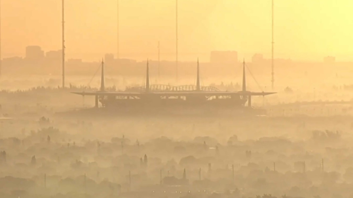
There are some benefits to this phenomenon. It’s been linked to beautiful sunrises and sunsets, along with a noticeable glow in the sky.
It’s also been known to transport nutrients like iron across the ocean and deposited on land. These nutrients act like fertilizer and is at least partially responsible for some of the nutrient rich soil in the Amazon.
These plumes of dust can impact weather events as well. This dust appears to be responsible for weaker tropical cyclones and may in fact prevent some from forming altogether. The air associated with this dust is drier and likely chokes off these tropical systems.
There are also some known negative impacts from these particles. Besides being hazardous for health, especially for persons with respiratory issues like asthma, Saharan dust has been known to negatively impact coral reefs. It's also linked to algae blooms.