It’s certainly been quiet in the tropics since major Hurricane Beryl roared across the Atlantic in late June and early July, but things are slowly shifting.
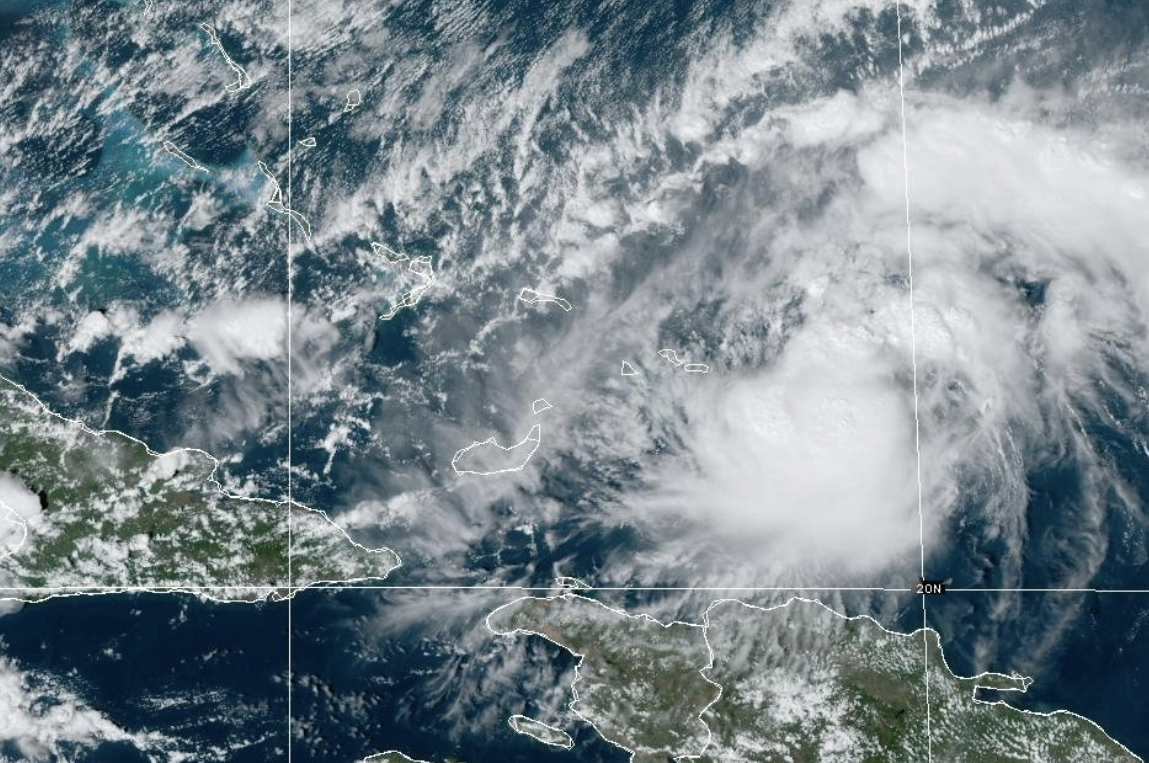
We are currently monitoring a tropical wave an elongated area of low pressure in the central Atlantic as it pushes west.
In the next couple of days we aren’t expecting any development.
There is plenty of dry, dusty air over the wave and this is a major limiting factor for tropical development, but things could change as this plume of dust is expected to dissipate by the middle and later part of the week.
The Hurricane season is on. Our meteorologists are ready. Sign up for the NBC 6 Weather newsletter to get the latest forecast in your inbox.
Adding to the equation is the fact that water temperatures are above average across nearly the entire Atlantic basin.
As it stands right now, the National Hurricane Center gives this system a 0% chance of development over the next 48 hours but a 50% chance over the next seven days.
Weather Stories
There are indications that a depression could form as early as mid-late week anywhere from the northern Leeward Islands to the southeastern Bahamas.
We realize this is a large window of time and wide geographic area.
Meteorologists are much more confident when the computer models we trust and use show consensus and we just aren’t seeing that right now.
Given the fact that this system isn’t producing abundant thunderstorms right now and the fact that it is still in the middle of the Atlantic, we just wait and watch for now.
This certainly bears watching as we are in the development zone.


