
Our cold front is on the move and should arrive later in the day Wednesday.
Expect a few showers and a possible storm ahead of the front, then a noticeable change in the feel out there by the evening.
Temperatures will dip just a touch, humidity will dial back and the winds will pick up, too.
While Thursday will feel quite refreshing out there, the current King Tide cycle will likely worsen with these onshore gusty winds expected.
The Hurricane season is on. Our meteorologists are ready. Sign up for the NBC 6 Weather newsletter to get the latest forecast in your inbox.
Thursday and Friday morning will feature morning temperatures in the low-70s (yes, maybe a few 60s in spots) with highs struggling to get out of the low-80 degrees.
Our front may drift back to the north later on Friday and Saturday, bringing higher rain chances with it. Winds will continue to gust out of the northeast.
This will definitely go down as a blustery weekend. Rain looks to move back out by Sunday.
Weather
Today
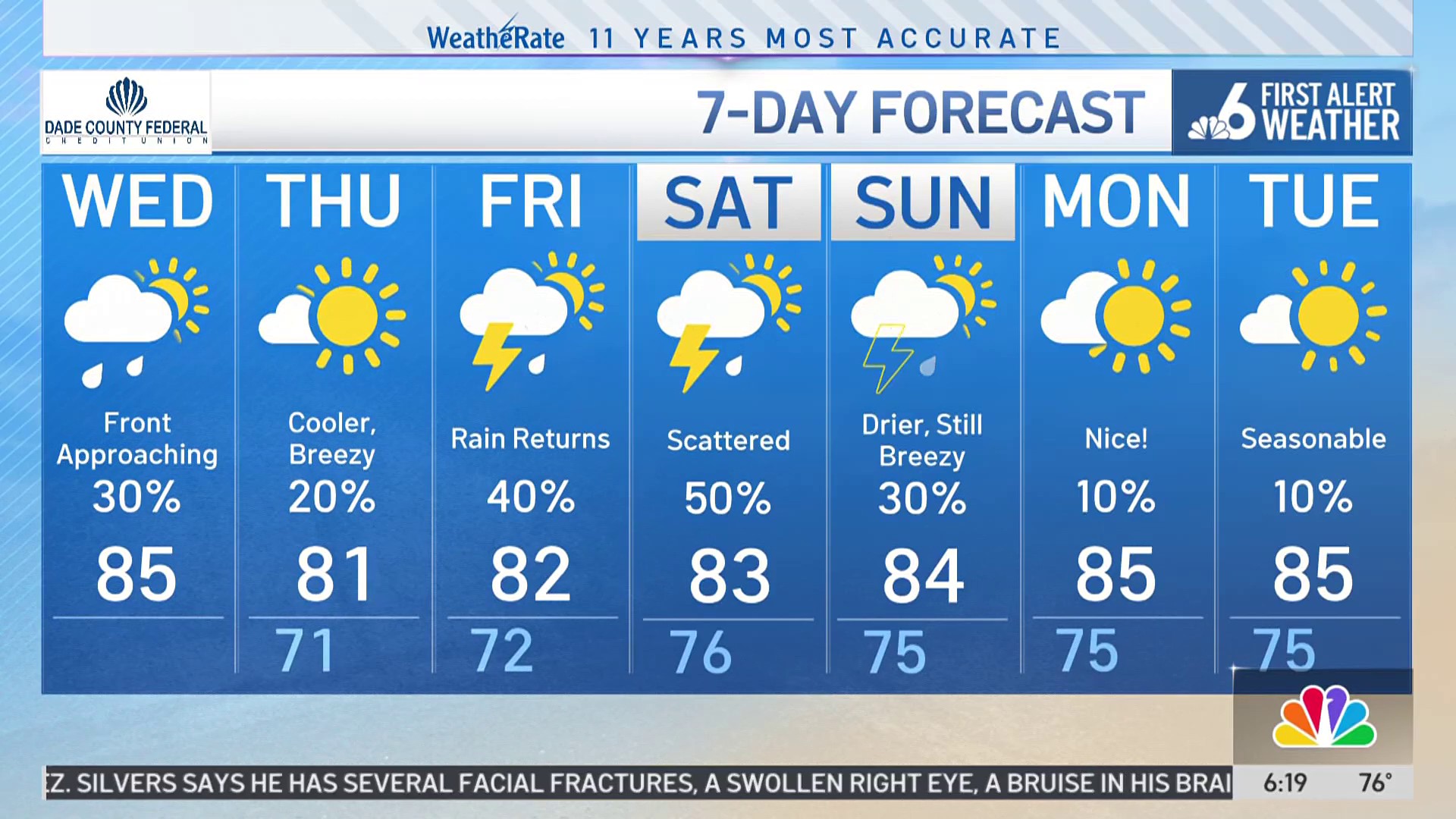
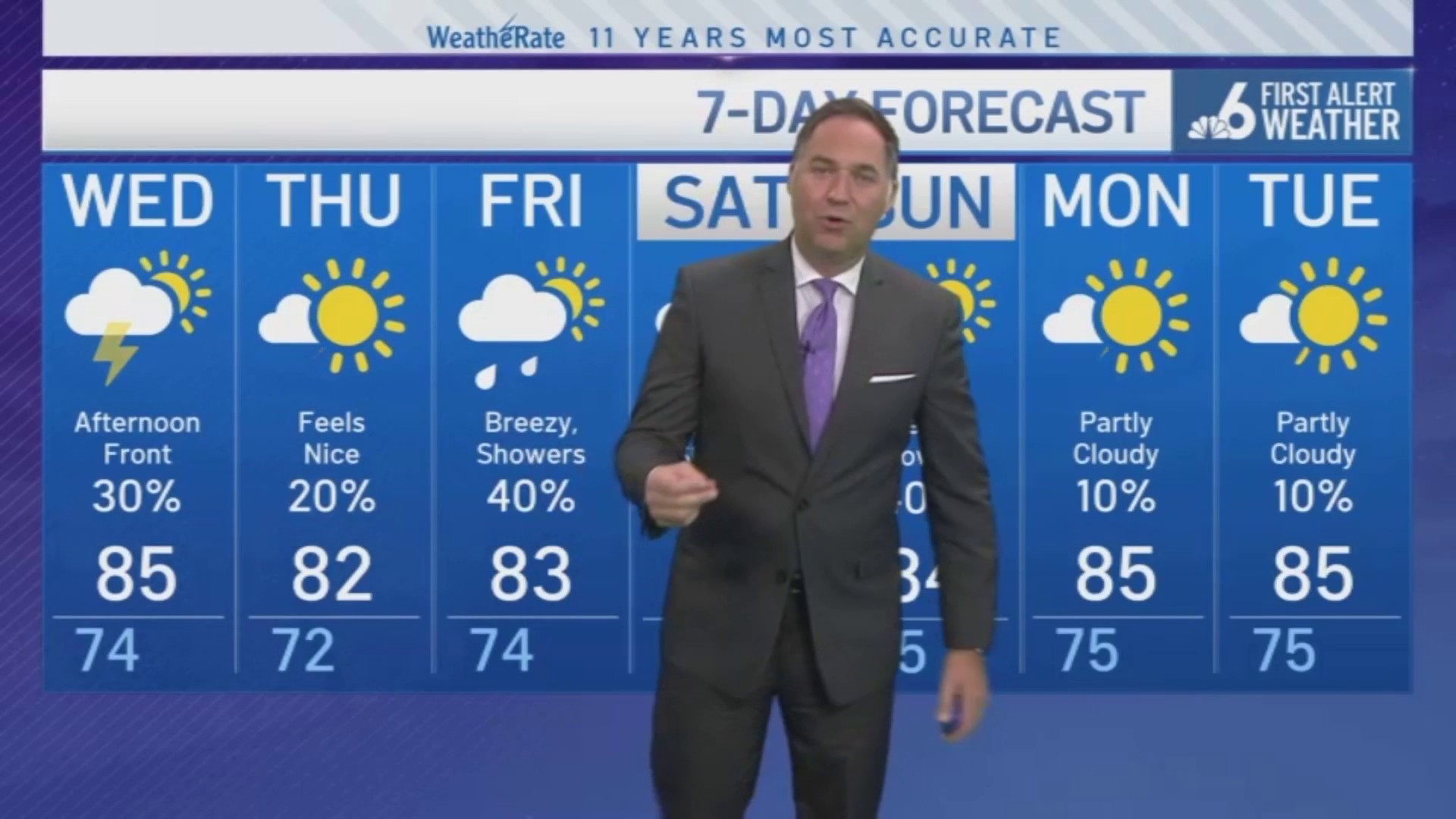
Partly cloudy skies with a stray shower or storm. Lower humidity late-day. Highs near 85.
Thursday
Partly cloudy, lower humidity and breezy. Morning low 71. Highs near 81.
Friday
Scattered showers picking up, especially later in the day. Breezy. Morning low 72. Highs near 82.
Saturday
Breezy, scattered showers. Morning low:75. Highs near 83.
Sunday
Breezy, with showers dialing back. Morning low:75. Highs near 84.