
A series of cold fronts is opening the door for South Florida’s coldest weather since February; possibly since January.
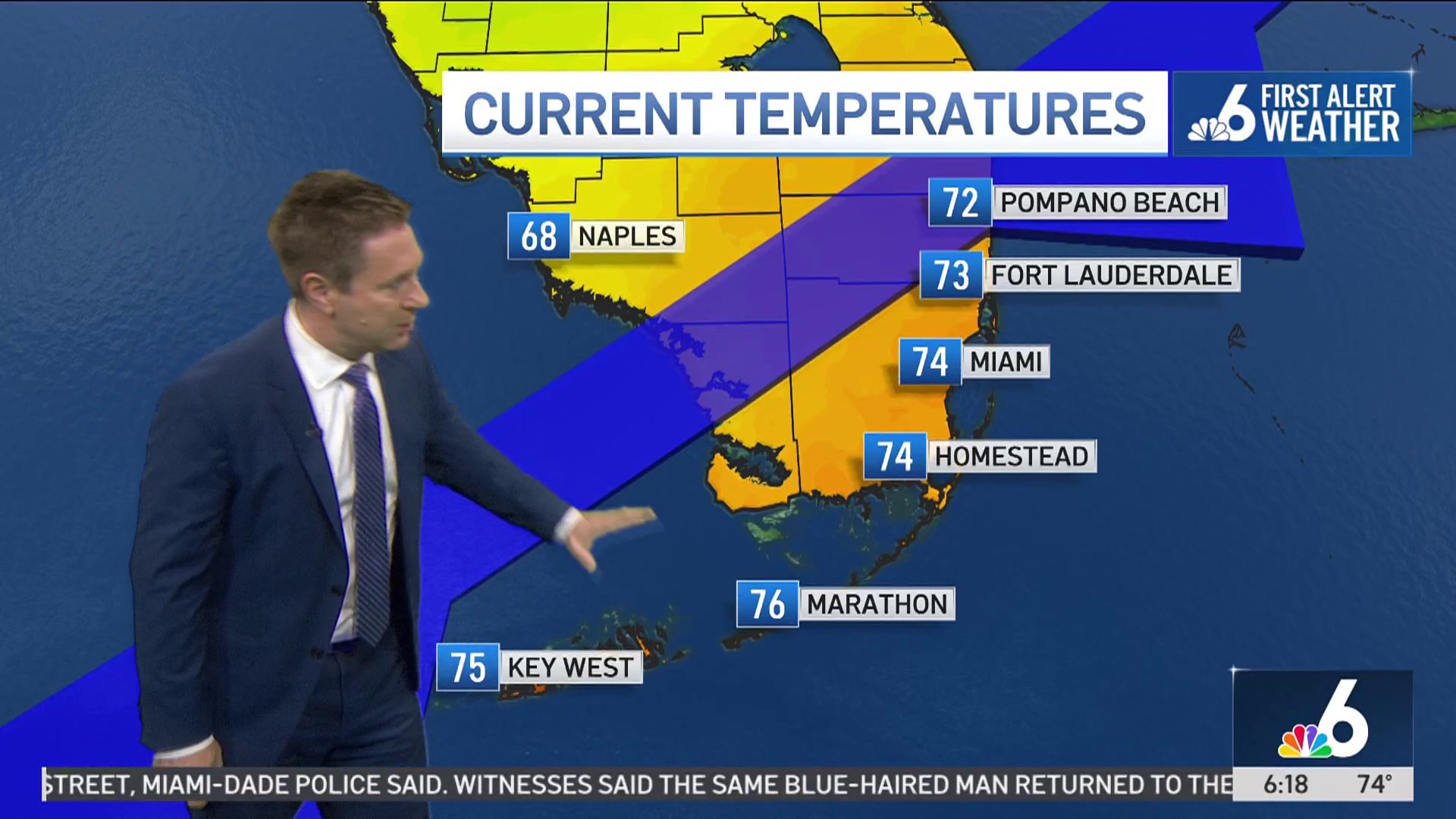
The first cold front that brought Wednesday’s showers is now fully south of The Keys. We’ve already started to see the humidity plummet.
Watch NBC6 free wherever you are
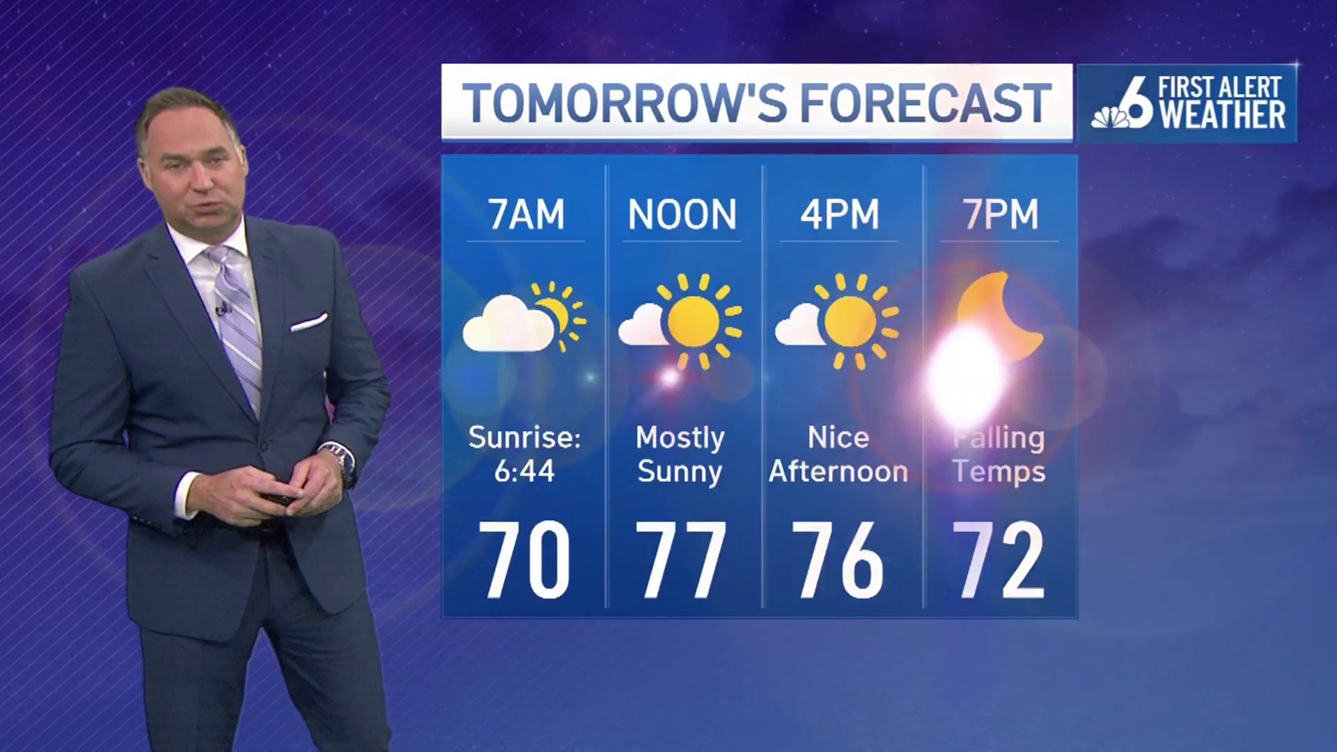
A reinforcing shot arrives Friday, ensuring a sunny, gorgeous, crisp, cool weekend forecast, although chilly mornings for sure.
Boaters are under a Small Craft Advisory through Friday night.
Get local news you need to know to start your day with NBC 6's News Headlines newsletter.
TONIGHT: Clear, breezy, chilly, crisp. Rain: 0%. Low: 55°.
FRIDAY: Sunny, breezy, gorgeous. Rain: 0%. High: 73°.
Weather
SATURDAY: Sunny. Rain: 0%. Low: 53°. High: 72°.
SUNDAY: Sunny. Rain: 0%. Low: 56°. High: 77°.