Hurricane season 2023 was busier than average over its first two months. As we turn the calendar to August, what will the historical peak of the season bring?
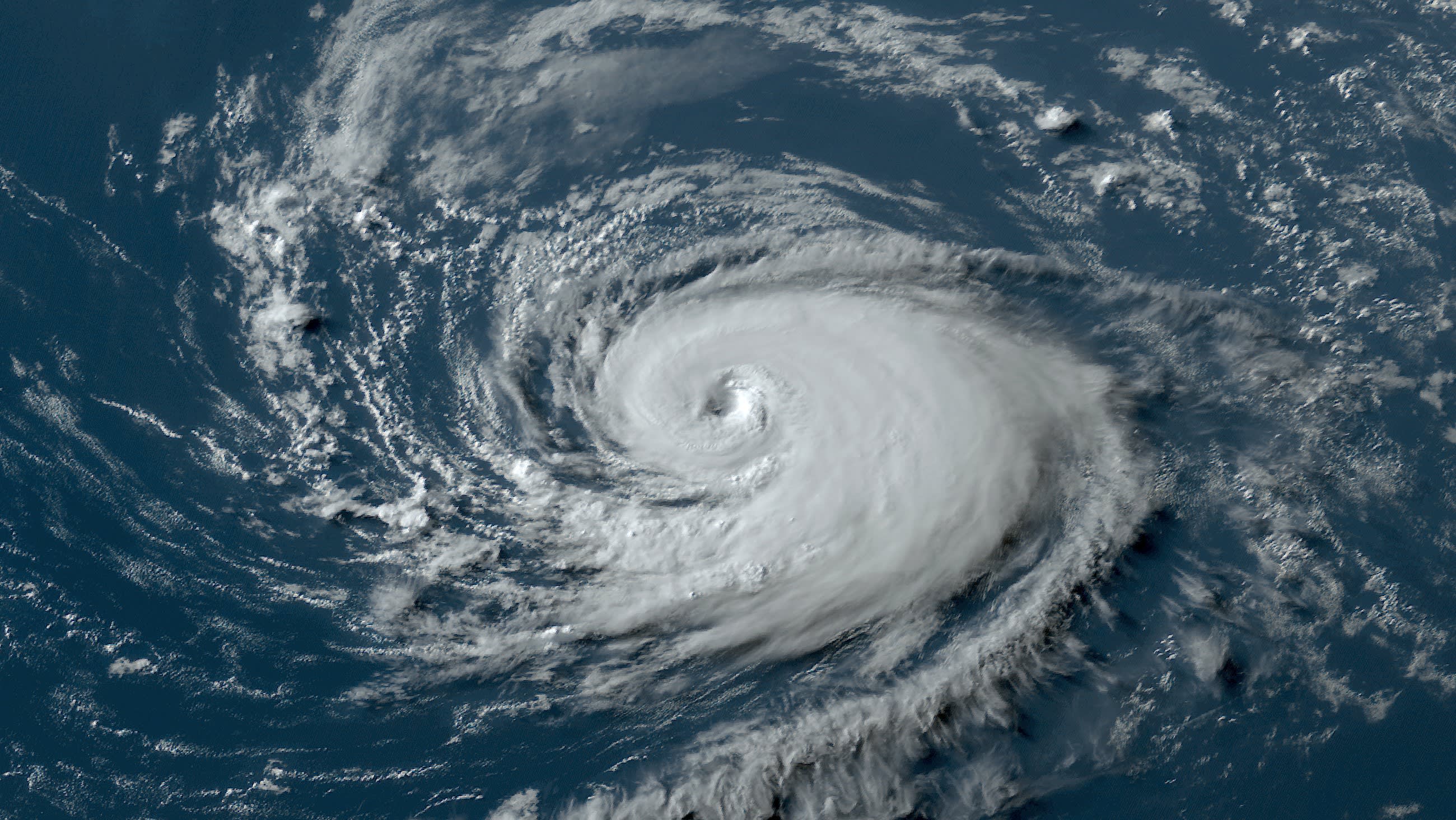
After a torrid start, with four tropical or subtropical storms forming in the Atlantic by the end of June, things did slow down in July. But the one storm that did develop last month strengthened into Hurricane Don.
Watch NBC6 free wherever you are
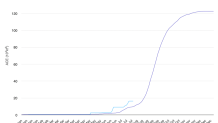
Overall, in terms of Accumulated Cyclone Energy (ACE) — an index that accounts for the number, longevity and strength of named tropical systems — we’re sitting at 165 percent of normal in the Atlantic basin through the end of July.

Get local news you need to know to start your day with NBC 6's News Headlines newsletter.
That’s certainly nothing to sneeze at. But I think most people perceive the season to be “slow going” so far.
Tropical Storm Arlene formed in early June over the Gulf of Mexico near Florida and lasted all of two days. But every other named storm has remained far from the United States. Bret and Cindy were record-setters in June, but their impact on the Caribbean was minimal and they never threatened the U.S. Don reached hurricane strength but lived out its life mainly between the Azores and Bermuda before dying in the North Atlantic.
Now comes the historically busiest part of the year.
Hurricane Season
The NBC 6 First Alert Weather team guides you through hurricane season
August and September represent a subset of the Atlantic hurricane year known as the Cape Verde Season. Tropical disturbances emerging off the west coast of Africa pass near the Cabo Verde islands and have ample opportunity to gather strength in an environment that is normally most conducive for strengthening. Andrew was a Cape Verde hurricane, as was Irma.
In October, the focus shifts to the west end of the Atlantic basin. Florida sees most tropical storms during this month because they often form in the western Caribbean south of Cuba, the Gulf of Mexico, or the nearby coastal waters of the Bahamas.
In November the season typically winds down pretty quickly, though last year’s Hurricane Nicole is a reminder that the season is never over until it’s over.
What are the expectations as we approach the peak of this season?
The Atlantic Ocean continues to be extra hot — we’ve all seen the headlines of 100-degree water in Florida Bay. That’s certainly a concern, because warm water fuels hurricanes. The hotter-than-normal sea surface temperatures extend far and wide well beyond Florida.
El Niño, however, is lending a helping hand.
Stronger westerly winds aloft have kept wind shear high across the Caribbean and the Main Development Region of the Atlantic Ocean in July, something which is likely to continue into the first half of August. Computer forecast models show weaker wind shear later in the month, but that is a long-range forecast that is far from certain.
Noticeable in the Atlantic too is an overall pattern of sinking air. That is not uncommon when an El Niño is present, which normally produces rising air in the Pacific but descending air in the Atlantic.
Seasonal hurricane forecasters believe that the warm water will win out over the sinking air and wind shear. That’s why most have adjusted their numbers up, in terms of how many storms and hurricanes we’ll see this year in the Atlantic. Another update will come August 10 from NOAA.
For now, we’ll enjoy watching disturbances from a great distance knowing none will be impacting Florida over the next week or more. But we’ll also remain alert for what might come later.


