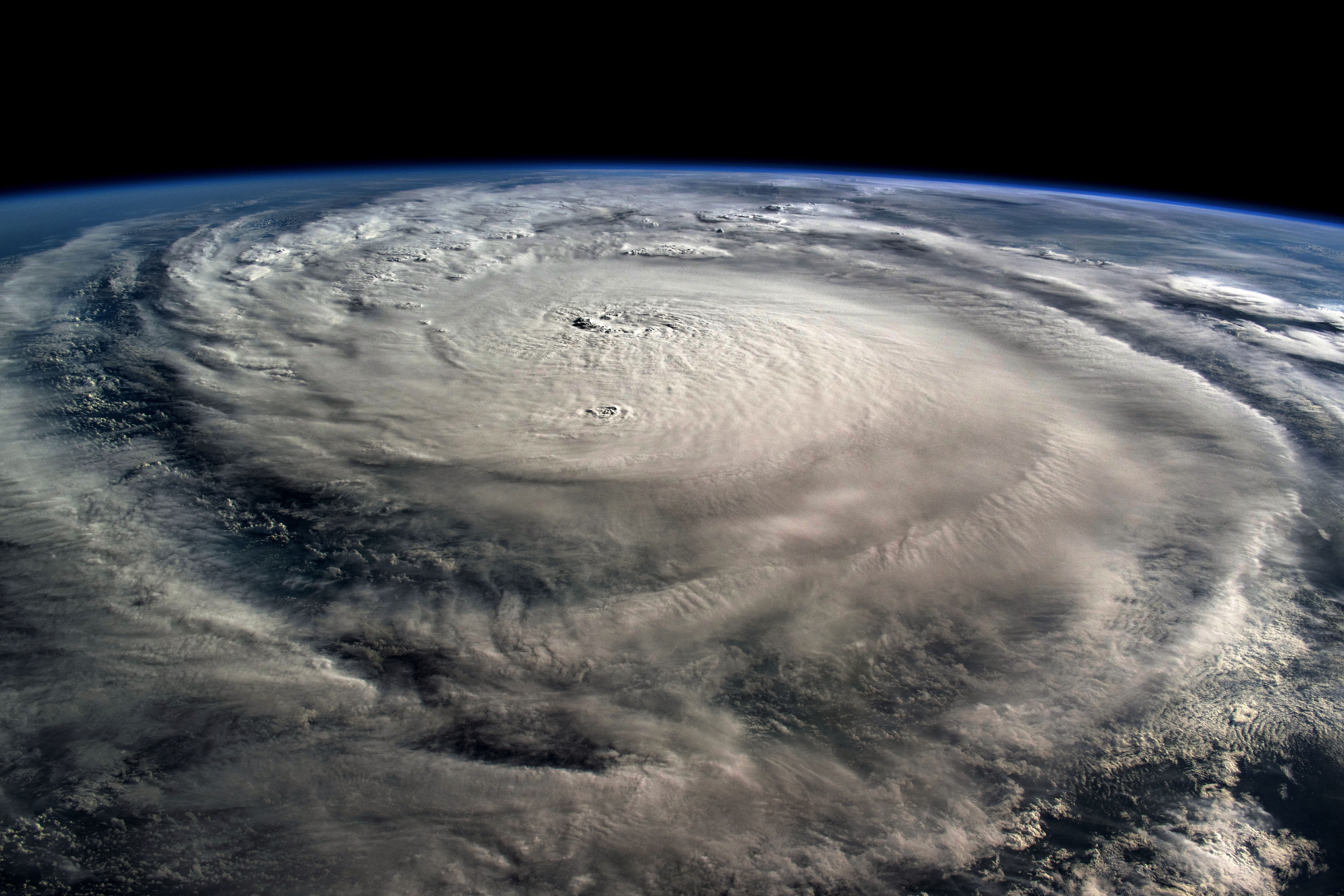
A disturbance in the Atlantic continues to be monitored for possible development, but there are many uncertainties at this time.
The National Hurricane Center continues to monitor a tropical wave over the far eastern Atlantic.
Watch NBC6 free wherever you are
Currently, the wave has a medium chance (50%) of developing into a depression or storm in the next seven days.
Debby is the next name on the list.
Get local news you need to know to start your day with NBC 6's News Headlines newsletter.
Here is what we know:
The tropical wave will be steered west-northwest by the Bermuda High, a semi-permanent subtropical high located in the Northern Atlantic off the East Coast of the United States. It gets its name because it typically sits near the island of Bermuda.
The strength of the dome of sinking air will determine where the wave will go.
Hurricane Season
The NBC 6 First Alert Weather team guides you through hurricane season
A clearer picture of what will happen will come into focus once all of the ingredients are at play. By Wednesday, we’ll have a better idea of what awaits this weekend.
Scenario 1: A stronger Bermuda High will steer the tropical wave towards Florida or the Gulf of Mexico, leading to a rainy weekend across South Florida.
Scenario 2: A weaker Bermuda High will steer the system to ride along its periphery in a clockwise direction, turning the system off the coast of the U.S., leading to little rain to our local forecast.
What is currently at question is: will the wave intensify into a depression or storm? Will it curve north-east or steer west-northwest in the next few days?
The strength of the Bermuda High will determine the ultimate track. For now please stay up to date on the latest tropical developments.


