
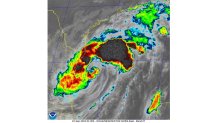
Today is the climatological peak of the Atlantic hurricane season. At this point in the season, conditions, on average, are optimal for storm development. Right on cue, following a nearly two-and-a-half-week pause in activity, Francine is maturing in the western Gulf of Mexico.
Today’s focus will be squarely on Louisiana’s preparation for imminent impact from Francine tomorrow. With storm surge and hurricane warnings posted Monday, residents are on alert, bracing for a landfall sometime Wednesday evening. While a landfalling Category 2 is in the forecast, residents are being advised to prepare for a category higher as the storm’s intensity may ramp up as it starts to race northeast later today.
The last hurricane to make landfall in Louisiana was nearly three years ago in September of 2021. Hurricane Ida plowed through the coastline as a Category 4 storm with a surge of 9-14 feet and 150 mph winds.
The Hurricane season is on. Our meteorologists are ready. Sign up for the NBC 6 Weather newsletter to get the latest forecast in your inbox.
This occurred just one year after a devastating hit from Category 4 Hurricane Laura in late August of 2020.
While Louisiana is no stranger to storms, their sensitive coastline will, again, absorb a storm surge that is forecast to peak at 5 to 10 feet.
While tracking Francine, we’re watching two other areas in the Atlantic basin. One area is an elongated area of low pressure in the central tropical Atlantic. While it has been somewhat persistent in producing disorganized showers and thunderstorms, conditions are only marginally conducive for development during the next few days. That said, a tropical depression could form while the system meanders over open water.
Hurricane Season
The NBC 6 First Alert Weather team guides you through hurricane season
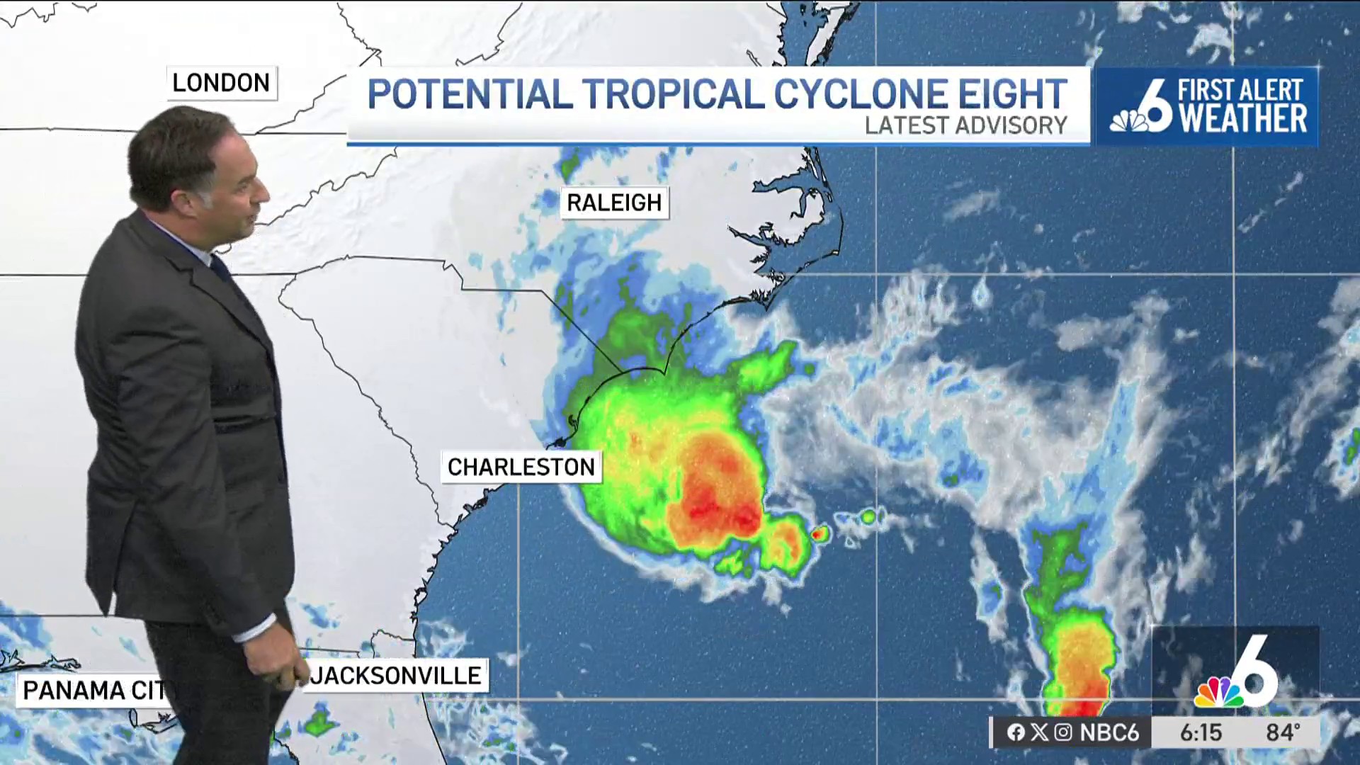
A little further east, a trough of low pressure is located several hundred miles southwest of the Cabo Verde Islands. This set-up is more unique as it is expected to merge with a strong tropical wave currently near the coast of western Africa. It’s here that environmental conditions appear favorable for gradual development of this system, and a tropical depression will likely develop later this week.
While all these items are interesting and deserve a look, there are no threats to South Florida on the horizon over the next several days.