Beastly Beryl. How do I hate thee? Let me count the ways.
I’ll start by what you did in June. You were the easternmost hurricane to form in the Atlantic in the month of June, beating the old record set by the 1933 Trinidad hurricane by an astounding 660 miles of open ocean.
Watch NBC6 free wherever you are
You also jumped to the top of the history charts by becoming the strongest recorded June hurricane as measured by windspeed, beating 1957’s Hurricane Audrey. Then, still in June, you became the earliest Category 4 hurricane ever recorded in the Atlantic basin.
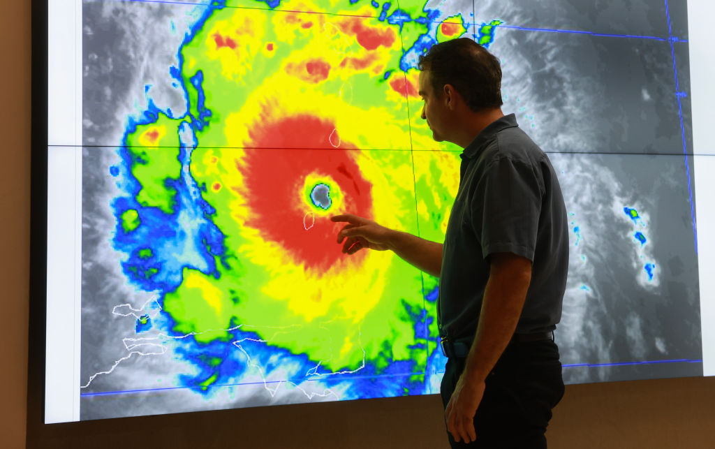
All these infamous June accomplishments were facilitated by rapid intensification, the process by which a storm like you can gain strength rapidly fed by the warm waters underneath it. And are they ever warm! Record-hot, as a matter of fact. In your case, Beryl, you became the first June system on record to undergo rapid intensification in the open Atlantic east of the Caribbean, the area known as the Main Development Region.
Get local news you need to know to start your day with NBC 6's News Headlines newsletter.
In July — and I realize the month is just four days old — you outdid yourself.
First, you hit Carriacou, one of the Grenadine Islands located between Grenada and St. Vincent in the Windwards, as a Category 4. You became the strongest hurricane to hit this far south in the Windward Islands, regardless of month! People died because of you. 90% of the homes suffered damage on the small island with a population of eight thousand.
Then you peaked as a Category 5, 165-mile-per-hour monster (mercifully) over the open Caribbean Sea away from land. But that’s a record too, for the earliest-forming Cat 5. You undoubtedly fed off of the remarkably hot water that’s brought chronic heatwaves to the Antilles since last year.
Then yesterday, you were finally hit by upper level wind shear. You lost some strength and your eye clouded over. And yet, your remarkable resilience kept you at Cat 4 intensity as you skirted along the south coast of Jamaica with 140 mph sustained winds and potential gusts to near 200 mph on hillsides and mountaintops.
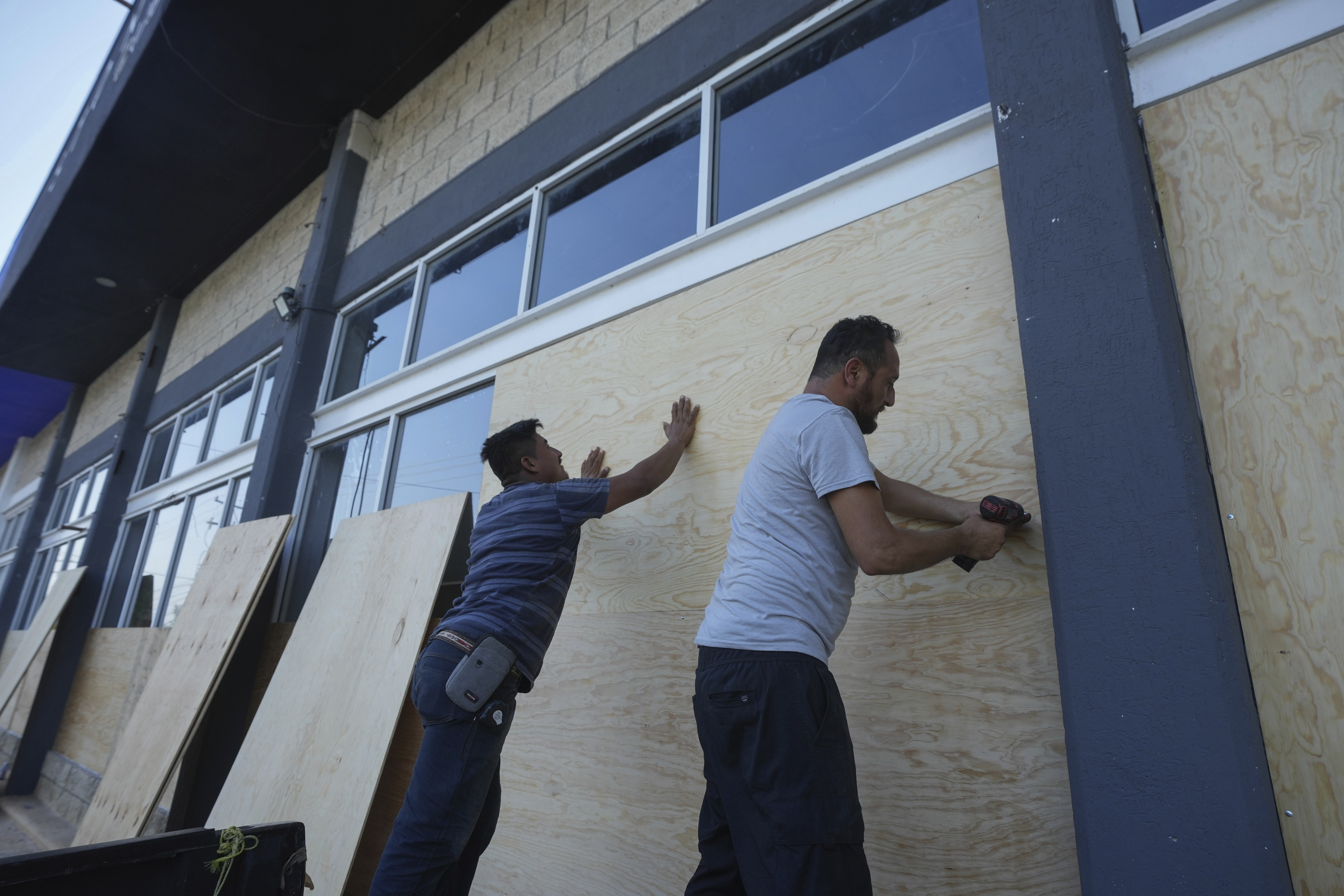
Now you’re on your way to Mexico’s Yucatan Peninsula. I’ll feel lucky if you drop below major hurricane status, as forecast by the National Hurricane Center (NHC). This part of Mexico is used to strong hurricanes, but it’s never easy for those living on very basic means to weather storms like you.
And since you’re so darn sassy, you’re probably not done after the Yucatan. The Gulf of Mexico awaits, and, wait for it, a possible turn towards the United States?! NHC already has their “cone” over parts of Texas thanks to you. I can only hope that you’ll be showing your age by then.
Your death will be celebrated. As will the death of your name, which will undoubtedly be retired after having appeared every 6 years on the list of Atlantic tropical storm names since the 1980s.
Beryl, I can only hope that all the records you’ve set will last forever. But given how we’ve already changed our climate, I have low expectations.


