
The number 20 keeps popping into my head this week. Twenty inches of rain in South Florida in just a couple of days’ time last week. The 20th of June. And the year 2020.
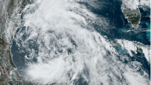
As this week began, two tropical disturbances were being monitored for potential development by the National Hurricane Center (NHC). The one in the Gulf of Mexico showed so much potential, that NHC labeled it early as Potential Tropical Cyclone One (PTC 1) and issued Tropical Storm Warnings for Mexico and South Texas.
Watch NBC6 free wherever you are
Satellite pictures and aircraft reconnaissance data showed a very large counterclockwise gyre taking up much of the western half of the Gulf of Mexico on Tuesday. The low-pressure system was so broad that it was struggling to consolidate into a well-defined tropical depression or storm. But on Wednesday, a better-defined center of circulation with a good deal of thunderstorm activity formed, and with that, the first named tropical storm of the year—Alberto—which is not expected to produce winds stronger than 50 miles per hour.
It made landfall in Mexico Thursday morning.
Get local news you need to know to start your day with NBC 6's News Headlines newsletter.

There is a moderate to severe drought across South Texas and especially in the Upper Rio Grande and West Texas. The same applies to many regions of northern Mexico. If there isn’t going to be much of a windstorm with Alberto (at least compared to what Texas is accustomed to), then let there be drought-busting rains!
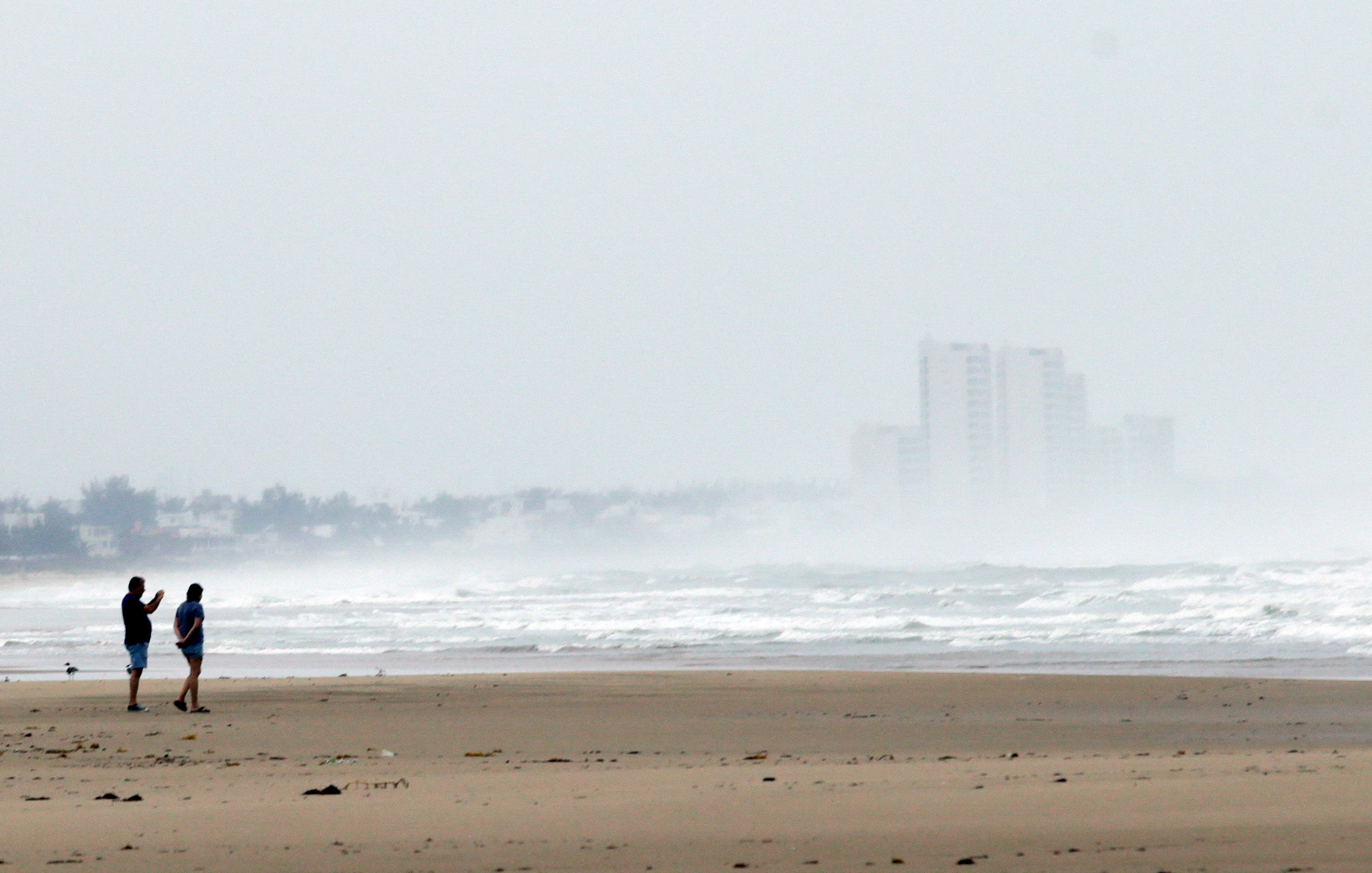
Rain is something we hope not to see much of for another week or two in South Florida. Early this week some neighborhoods still had standing water. Many families lost everything.
As NHC upped the chance for tropical development east of the Bahamas, forecast models were projecting that a deep plume of moisture could be drawn up from the south into our same part of Florida that just flooded.
As Tuesday and Wednesday went by, thankfully, that Atlantic disturbance showed no signs of organization. NHC lowered the chance for tropical cyclone formation to 20% (yes, another 20) in the next week, and models backed off from their projections that soupy deluge-producing air would park itself over South Florida by the weekend.
Which brings up the other 20s.
What is the significance of the date June 20? That’s the average date by which the first named tropical storm of the year forms in the Atlantic basin. Alberto made it just in the nick of time. Dare I say, the year is off to an average start?!
Meteorologists try to learn from history to at least be prepared for a potential repeat. So, the year 2020 is in my mind too. It is the most recent year in which conditions in the tropical Atlantic are considered analog to 2024. Oceanic and atmospheric conditions this spring and early (meteorological) summer are in some ways similar to 2020. There were 30 named storms in the Atlantic that year, and some entities have predicted as many or more this year!
By this date in 2020, Arthur, Bertha, and Cristobal had already formed, and Dolly was about to. This year, only Alberto has been baptized in the Gulf.
Okay, I’ll say it: this year has not started off as everyone expected.
John Morales is NBC6's hurricane specialist.