
We have a better idea of how a tropical system in the Atlantic will impact South Florida. Hurricane specialist John Morales has the details.
It’s been 84 years, said old woman Rose in the movie Titanic.
I exaggerate, of course. But the National Hurricane Center (NHC) began alerting us about a possible new tropical storm forming in the Atlantic seven days ago. And for so many in Florida and the Caribbean scarred by powerful hurricanes like Ian, Irma and Maria, that is a long time to be on edge.
Watch NBC6 free wherever you are
NHC implemented a new longer-range Tropical Weather Outlook (TWO) this year. It is, in my (maybe unpopular) opinion, counterproductive. Depending on the circumstances, a long-range (more than 5-day) weather forecast for the notoriously unpredictable tropical latitudes can border on speculation, especially when tropical waves are facing significant obstacles for development and have limited support from weather forecast models calling for storm formation.
I understand that a 7-day TWO is designed for improved awareness which should lead, in theory, to greater preparedness. But it also opens the door to stress and speculation, and the inevitable hype, clickbait, and downright misinformation that must be countered.
Get local news you need to know to start your day with NBC 6's News Headlines newsletter.
Those doing the countering of hype and speculation aren’t just my responsible colleagues and me in traditional communication roles. Even local National Weather Service offices have been compelled to send unscheduled messages to the public clarifying that little is known about what, if anything, could happen with the tropical disturbance. The government meteorologists had to explain that any rain and flooding in the forecast was unrelated to the disturbance — even when the disturbance was still 2,000 miles away!
It was Friday, July 26, when we first heard of this system. NHC called for a slight chance for it to become a tropical depression or storm somewhere between the open Atlantic and the eastern and central Caribbean. But the easterly wave, while large, was embedded in a dry air mass heavily sprinkled with Saharan dust.
The dry air kept the disturbance from strengthening, and for days satellite pictures were devoid of cloudiness near its core. It did finally become more active when reaching the Antilles. But the system now has to deal with land interaction over the islands, and occasional bouts of wind shear.
Hurricane Season
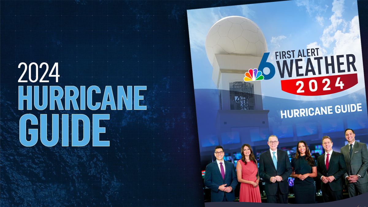
The NBC 6 First Alert Weather team guides you through hurricane season

So, the storm has yet to materialize. For that we’re grateful. It remains a tropical wave today as it moves across the Greater Antilles, namely eastern Cuba, likely on its way to the Gulf of Mexico. It could still impact Florida, at minimum with rain, but still possibly as a tropical storm should it finally gain strength in the Gulf.
Possible impacts upon South Florida range from an enhanced chance for heavy downpours this weekend and early next week, to a tropical depression or weak tropical storm crossing over the Florida Keys and southern peninsula. But not a hurricane.
And then we’ll turn our sight back out to the Atlantic for the busiest stretch of the season — August, September and October. The NBC6 First Alert Weather team will be with you every step of the way.