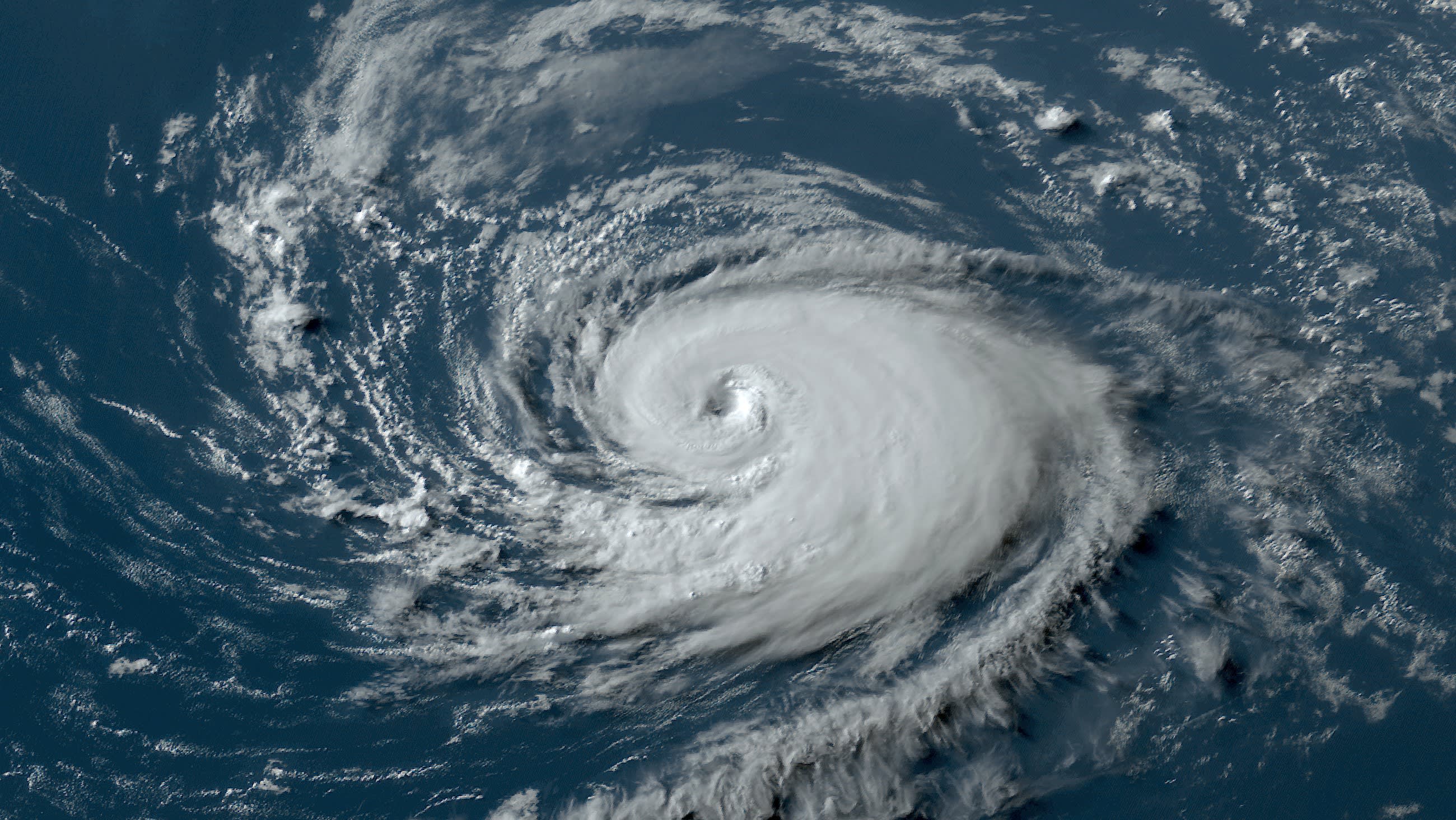
Unless you live under a rock, you’ve surely heard of all the dire forecasts for the 2024 Atlantic hurricane season. Some are downright unprecedented.
For example, Penn State University is forecasting up to 38 Atlantic tropical storms to form this year, which would demolish the previous record of 31 set recently in 2020. And before you pooh-pooh tropical storms as something you wouldn’t worry about (which is ill-advised), try this on for size: the two best-known seasonal forecasting entities in the U.S., the National Oceanic and Atmospheric Administration (NOAA) and Colorado State University (CSU), are projecting that up to seven major hurricanes could form in 2024—more than double the normal.
Watch NBC6 free wherever you are
>
What are examples of major hurricanes? Recent ones include Ian, which produced the costliest disaster in Florida’s history in 2022; Dorian, which flattened the northwest Bahamas with 185 mile per hour winds and a huge storm surge in in 2019; Michael, which hit the Florida panhandle in 2018 and is only the fourth Category 5 hurricane ever to strike the U.S.; as well as Harvey, Irma, and Maria, which in 2017 spread destruction far and wide. South Florida is also familiar with major hurricanes, with infamous Hurricane Andrew being the last to make a direct strike upon our area in 1992.
Get local news you need to know to start your day with NBC 6's News Headlines newsletter.
>The main driver behind this most hyper of hyperactive hurricane outlooks is ocean heat content. The Atlantic is, figuratively speaking, burning hot. Sea surface temperatures in May are as warm as you’d normally see in August.
The burning of fossil fuels continues to supercharge global warming. Ninety percent of Earth’s excess heat is absorbed by the oceans, which results in a continued uptick in water temperatures. Add short-term natural variations on top of what climate change is causing, and we end up where we we’ve been since last year—setting heat records at sea.
Last year, though, a robust El Niño phenomenon helped us. The warming of the tropical Pacific Ocean has global repercussions, including stronger westerly winds aloft which tend to dampen the strength of Atlantic tropical storms. Despite 21 named storms (50% more than average) in 2023, only seven hurricanes developed in the Atlantic. El Niño managed to produce enough days with strong westerly winds aloft across the Atlantic basin to keep two-thirds of the tropical storms from reaching hurricane strength.
This year, it could be the opposite. El Niño is waning, and a La Niña is very likely on the way.
According to NOAA’s Climate Prediction Center, there is a 78 percent chance that La Niña will be in place by August, September and October, the three most active months of the hurricane season. Westerly winds would be weaker aloft, and fledgling tropical storms could be able to “stand up taller” and grow into hurricanes. Fueled by extra-hot water, many of those hurricanes may undergo rapid intensification, leading to the alarming number of potentially catastrophic hurricanes being forecast by reliable outlets like NOAA and CSU.
The signs are most-definitely troubling. Is there any hope?
Even if three-dozen tropical storms form in the Atlantic in 2024, no one can say this early where they’ll hit—if at all. Here in South Florida, the difference in tropical storm landfalls between El Niño and La Niña years is negligible. Under either phenomenon, the Miami & Ft. Lauderdale area gets hit about once every 3 years.
However, one must be aware of the clouds when looking for silver linings. Hurricanes hit metropolitan South Florida every six to seven years, on average. Hurricane Katrina (yes, that Katrina) was the last one to make landfall in metro Broward or Miami-Dade counties.
That was in 2005. You do the math.
My takeaway: I’m dreading this hurricane season. But if, as Joan Baez said, “action is the antidote to despair,” this is the year to act!
Know your home’s vulnerability to wind and water. In the midst of the Florida insurance crisis, do your best to get covered. Are you in an evacuation zone? Make a plan and be ready.
I’ll be with you every step of the way on NBC6.


