Can you imagine getting hit by two hurricanes in a single year? How about two hurricanes in little over a month?! And what if both hit in the worst economic time in history?
That’s what happened in 1933, 90 years ago this week: a major hurricane struck Florida’s east coast near Jupiter, just 10 miles south of Hobe Sound, where another hurricane had hit a little over a month earlier.
Watch NBC6 free wherever you are
The so-called Florida-Mexico hurricane of 1933, which hit Hobe Sound on July 30, was a Category 1 cyclone that yielded only moderate wind damage but substantial flooding impacts due to over a foot of rain in some areas.
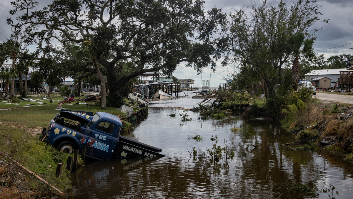
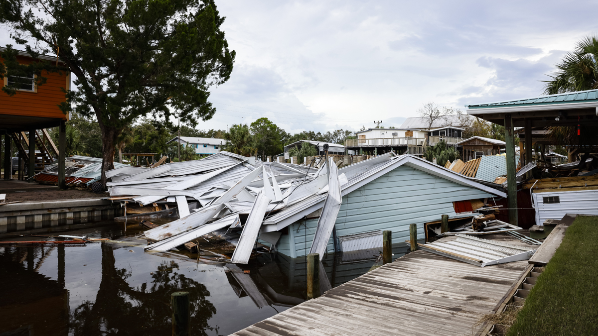
The much stronger 1933 Treasure Coast hurricane hit Jupiter as a 125-mile-per-hour Category 3 storm on September 4. At least two people died, mostly due to damage and flying debris caused by the severe windspeeds. For Martin and Saint Lucie counties, the hurricane was considered one of the worst on record. In the city of Stuart, three-quarters of the roofs were damaged or destroyed and 10% of the population was left homeless.
Get local news you need to know to start your day with NBC 6's News Headlines newsletter.
HURRICANE SEASON
It was a really bad time for hurricanes to hit Florida. 1933 was arguably the worst year of the Great Depression, when unemployment peaked above 25% in the United States. And Florida didn’t even suffer the worst weather consequences.
The Florida-Mexico hurricane went on to cross the Gulf of Mexico and hit near Brownsville, Texas, causing additional damage. That same area got slammed by the big Cuba-Brownsville major hurricane which, remarkably, hit South Texas just 23 hours after Florida’s second hit from the major Treasure Coast hurricane. Two major hurricanes hitting the United States in less than 24 hours is the record shortest period of time between landfalling major hurricanes.
The Chesapeake-Potomac hurricane caused the most fatalities (47) and most damage of any landfalling U.S. hurricane of 1933. With a 7-foot storm surge, that major hurricane caused significant damage from North Carolina to New Jersey.
And there was a near-miss in 1933 too: the Outer Banks hurricane yielded a 4-foot storm surge and category 2 winds in North Carolina as the eye of the storm passed just offshore.
A handful of hurricanes and the worst economic downturn of the century in just one year — did the U.S. hit a very unlucky stretch in 1933? Not necessarily.
That season 90 years ago tops recent hyperactive seasons like 2005, with its 28 storms, and even 2020 with its record 31 named Atlantic tropical cyclones.
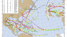
1933 had 20 tropical storms form in the Atlantic (the same number we saw in 2021). But they were unusually strong. Of the twenty, 11 became hurricanes, and 6 of those major hurricanes. Two of those major storms reached category 5 intensity.
When adding up the number of storm days and taking into account their intensity, the Accumulated Cyclone Energy (ACE) Index of 259 for the year 1933 represents the record highest ever achieved in the Atlantic basin. The modern-day average ACE is 122 for an entire season.
2005 came close, with an ACE of 245. That was the year of Katrina, Rita, and Wilma. The infamous 2017 season, which included Irma and Maria, only produced an ACE of 225. Last year’s Atlantic ACE was a paltry 95, and this season we’re at 56 ACE up to Labor Day.

What made 1933 such a record-setting hurricane year? It was a La Niña year, with low wind shear across much of the Atlantic. Plus, sea surface temperatures were warmer than normal in 1933.
In 2023, the Atlantic water is even hotter than it was 90 years ago. But unlike 1933, there’s an El Niño in progress and wind shear has been making its presence felt for the first half of the season.
That’s why out of 44 named storm days this year, only 8½ hurricane days have accrued up to Labor Day. While there’s been 55% more storm days than normal, these storms are, with a few exceptions like Franklin, underachieving. Storms have spent less than 20% of their time as hurricanes in 2023, whereas in 1933 they spent 46% of their time as hurricanes.
We still have to get through the second half of hurricane season. And a new Cape Verde storm is going to form this week which will likely become a strong one. But I’d hate to think how scary this season would be if it wasn’t for El Niño and the wind shear it’s producing over the Atlantic.
Here’s to hoping against hope that water temperatures won’t be as hot once the El Niño is gone next year.
John Morales is NBC6's hurricane specialist.


