With record temperatures on the water and a ‘El Niño’ year, our expert on all things hurricanes explains why this year’s season may surprise South Florida.
"Post-hurricane stress manifested itself and remained just as apparent in Floridians as it did across the landscape with gnarled street signs and empty shopping malls."
This panorama may sound familiar given recent Florida history, but I’m quoting from Mass Trauma and Emotional Healing Around the World, a book written in 2010, not 2022 or 2023.
Watch NBC6 free wherever you are
It refers to the aftermath of Hurricane Andrew, which up until 2017’s Hurricane Irma stood as the costliest disaster in the history of Florida.
Thirty years and one month after Andrew’s bomb-like devastation in southern Miami-Dade County, Hurricane Ian one-upped it in terms of loss of life and property.
Get local news you need to know to start your day with NBC 6's News Headlines newsletter.
Many residents of the areas hit hardest by Ian eight months ago are dealing with post-traumatic stress disorder, just like South Florida residents have for years after Andrew.
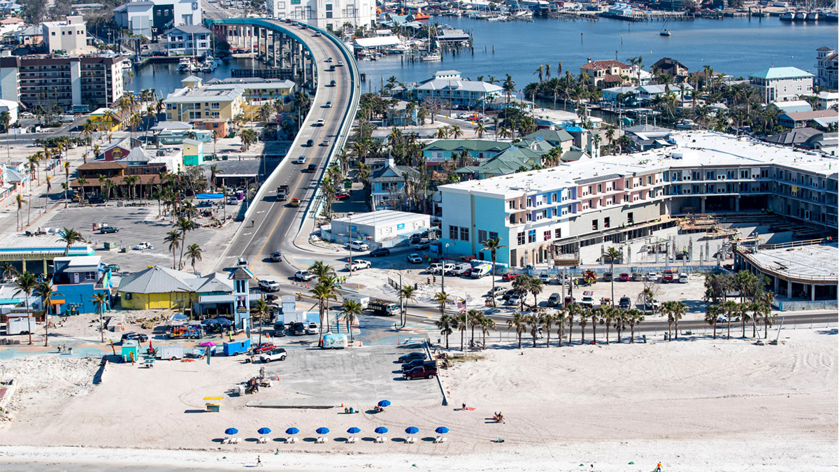
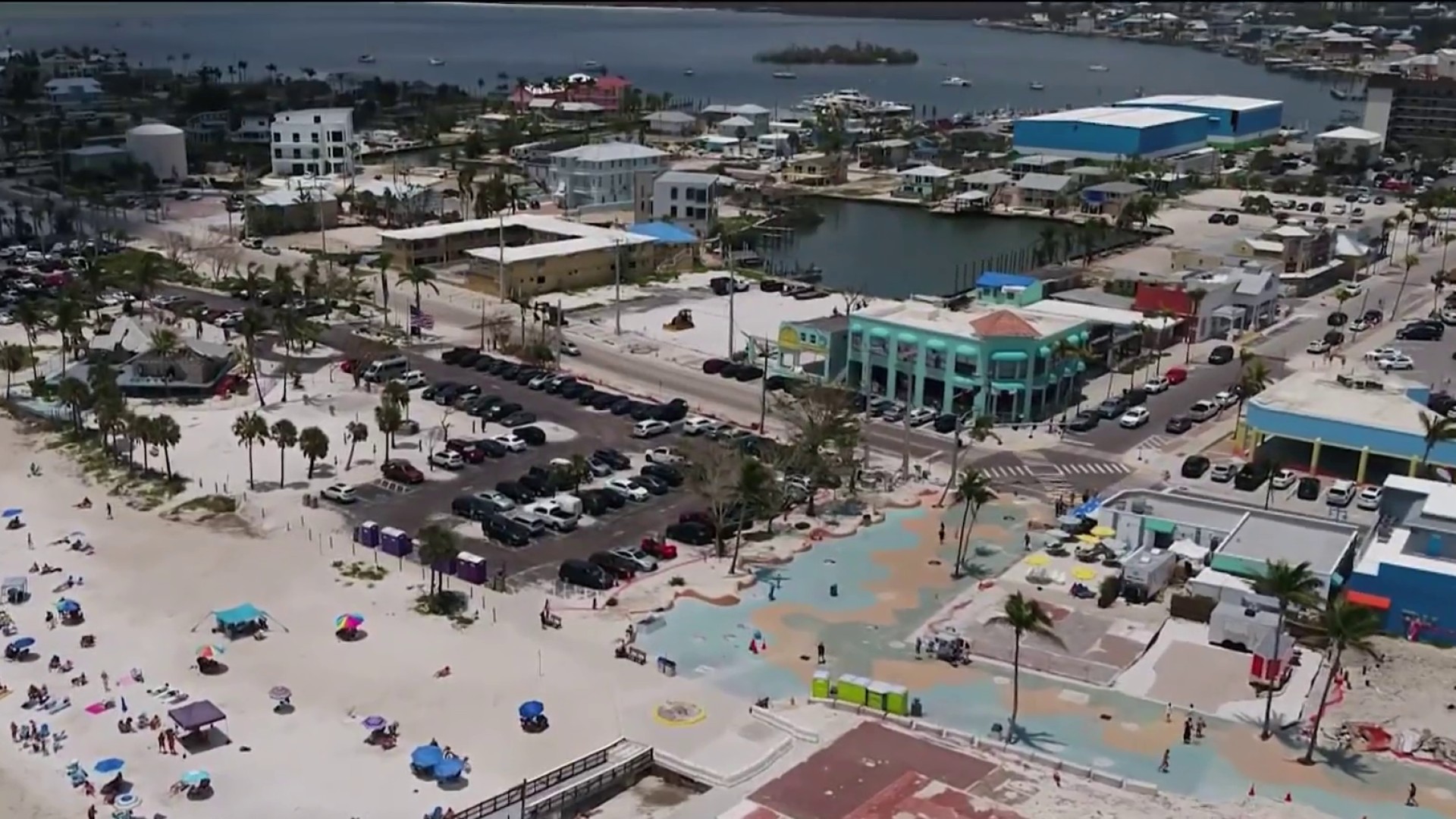
REBUILDING FORT MYERS
On the eve of the 2023 hurricane season, the wound is still open in Southwest Florida. That will make this year’s hurricane season especially difficult.
Any new tropical depression, or even just a fledgling tropical disturbance, will be enough to put millions of people from Fort Myers to Sarasota on edge.
“We certainly hope we don’t go back to back,” said Dan Allers, the new mayor of Fort Myers Beach. “The uncertainty and the unknowing is the hardest part.”
The 2023 season looks especially uncertain.
Yes, an El Niño is very likely to form. The warming of the tropical Pacific Ocean has global repercussions, including stronger westerly winds aloft which tend to dampen the strength of Atlantic tropical storms. It could be an especially strong El Niño, which, logically, leads many to think that the 2023 Atlantic hurricane season will be suppressed.
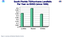
But the difference in tropical storm and hurricane landfalls between El Niño and La Niña years is negligible for South Florida. Under either phenomenon, the Miami and Fort Lauderdale area gets hit about once every three years.

Not making as many headlines as El Niño, but perhaps of greater importance, is the sea surface temperature across the Atlantic tropical belt.
From Africa to the Caribbean, the water is already warmer than 80 degrees Fahrenheit — the threshold at which tropical storms can form.
For many spots, that’s nearly three degrees (F) hotter than where temperatures should be in May.
Hot Gulf of Mexico waters driven by global warming fueled Hurricane Ian’s rapid intensification cycle, which boosted its intensity to Category 5 prior to making landfall as a Category 4. What will water three degrees warmer than average mean for the 2023 storms?
“Expect chaos,” says Dr. Jennifer Francis, Senior Scientist at the Woodwell Climate Research Center, on this year’s setup. “We have not had a strong El Niño, in conjunction with ocean heatwave in the North Pacific, in conjunction with an Atlantic Ocean where the temperatures are almost off the charts. This combination of factors is really nothing that we've seen before, so it's a real challenge to make any kind of a prediction.”
A hotter atmosphere, also a product of climate change, boosted Ian’s rainfall by 10% across Florida. That meant that the hurricane dumped 22 instead of 20 inches of rain in some parts of the state. That extra two inches led to a lot of extra damage and potential deaths.
Meanwhile, the rate of sea level rise in the Gulf Coast and the Eastern Seaboard is one of the fastest on the planet.
At Virginia Key’s tide gauge, water levels are 7 inches higher today than in 1994. A higher sea level very likely contributed to the record and deadly storm surge driven by Hurricane Ian deep into Fort Myers and neighboring communities.
Storms forming on this warmer planet have a greater propensity to reach devastating intensities. Like Andrew, which was an El Niño hurricane. And Ian, which was a La Niña one. That’s why National Hurricane Center Deputy Director Jamie Rhome says, “for South Floridian’s, El Niño is nothing but a distraction.”
My takeaway: this year’s hurricane season could be full of surprises. Be sure to tune in or livestream the NBC6 Hurricane Special this Thursday, June 1 at 7:30 PM.
John Morales is NBC6's hurricane specialist.


