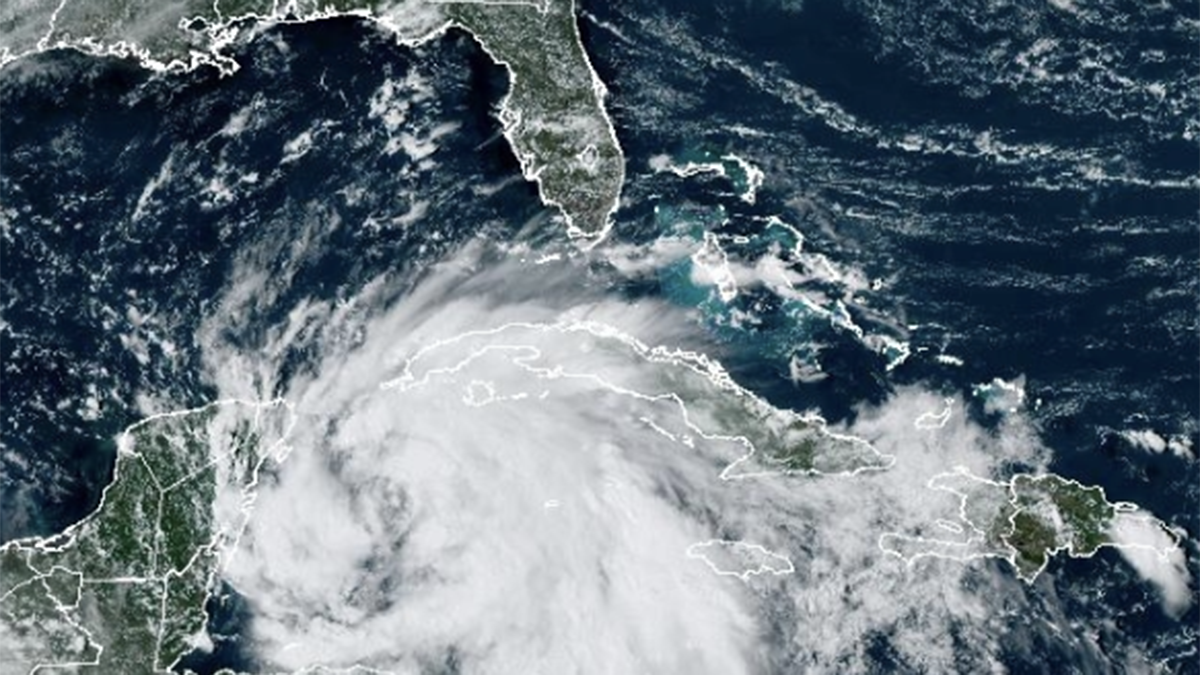
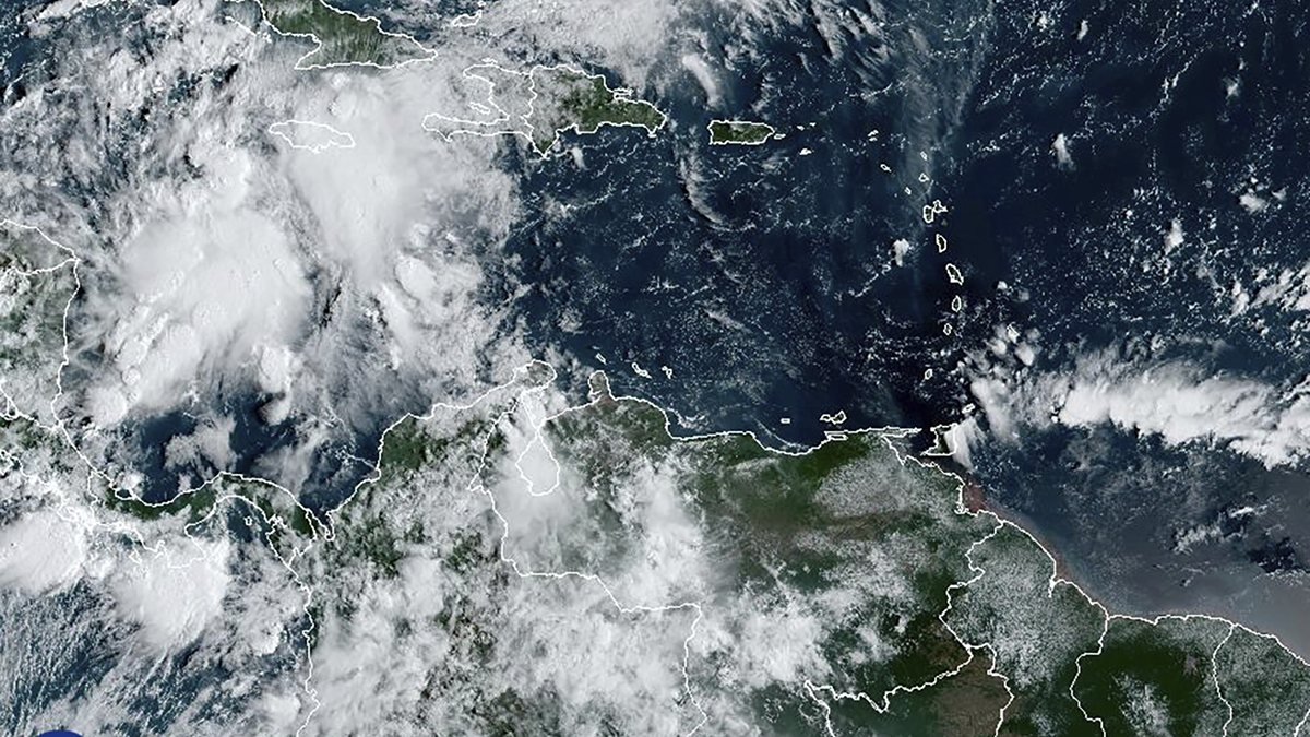
Gov. Ron DeSantis expanded an emergency declaration to 61 counties on Tuesday as Tropical Storm Helene formed and continued to move toward Florida.
The forecast currently has Helene getting up to a Category 3 hurricane as it approaches landfall by Thursday in the Big Bend of Florida.
Watch NBC6 free wherever you are
"[The National Hurricane Center] has never in their history forecasted a major at this stage of development," DeSantis said at a news conference in Tallahasee. "I think the fact that this would be forecasted as a major at this point, without formation, shows that this has a potential to be a really, really significant storm."
Get local news you need to know to start your day with NBC 6's News Headlines newsletter.
DeSantis previously announced he was issuing a state of emergency for 41 counties ahead of the storm. Miami-Dade and Broward weren't part of the declaration, but it did include Monroe County.
"The Big Bend and Panhandle should be especially prepared for a direct impact," DeSantis said.
The area is still recovering from Hurricane Debby, which struck as a Category 1 in August, and Hurricane Idalia, which hit as a Category 4 in 2023.
"It is possible that we have an Idalia, Debby track... and this potentially could be even more powerful than Idalia, we'll see. But it's going to potentially impact areas that are in the process of rebuilding, not just in the Big Bend, but Panama City still," DeSantis said.
The governor said he had activated the Florida State Guard, and 3,000 Florida National Guard soldiers were standing by, ready to assist.
DeSantis said impacts were anticipated "100, 200 miles outside of the eye of the storm, you could see with winds and you could see with surge. So if you're in the Tampa Bay area, you anticipate that you're going to see impacts. We could also see impacts in southwest Florida, just depending on what the track is."
Outer rain bands from the system could start to move through the overnight hours on Tuesday and into Wednesday morning. Surge in the Florida Keys could be 1-3 feet as the system passes.
The governor said though there is some uncertainty about the storm's track, Floridians have time to prepare for power outages, flooding and evacuations. Residents should ensure they have enough essentials, including food and water, for seven days.
Florida Division of Emergency Management Director Kevin Guthrie also encouraged people to heed evacuation warnings if they are implemented.
"People do not need to even leave their county in most instances," DeSantis added. "It's just getting away from when that water comes... The wind you can hide from. Anything that's shelter in Florida is going to be able to withstand the wind, but it's the water that can be really, really devastating."
This is a developing story. Refresh for updates.


