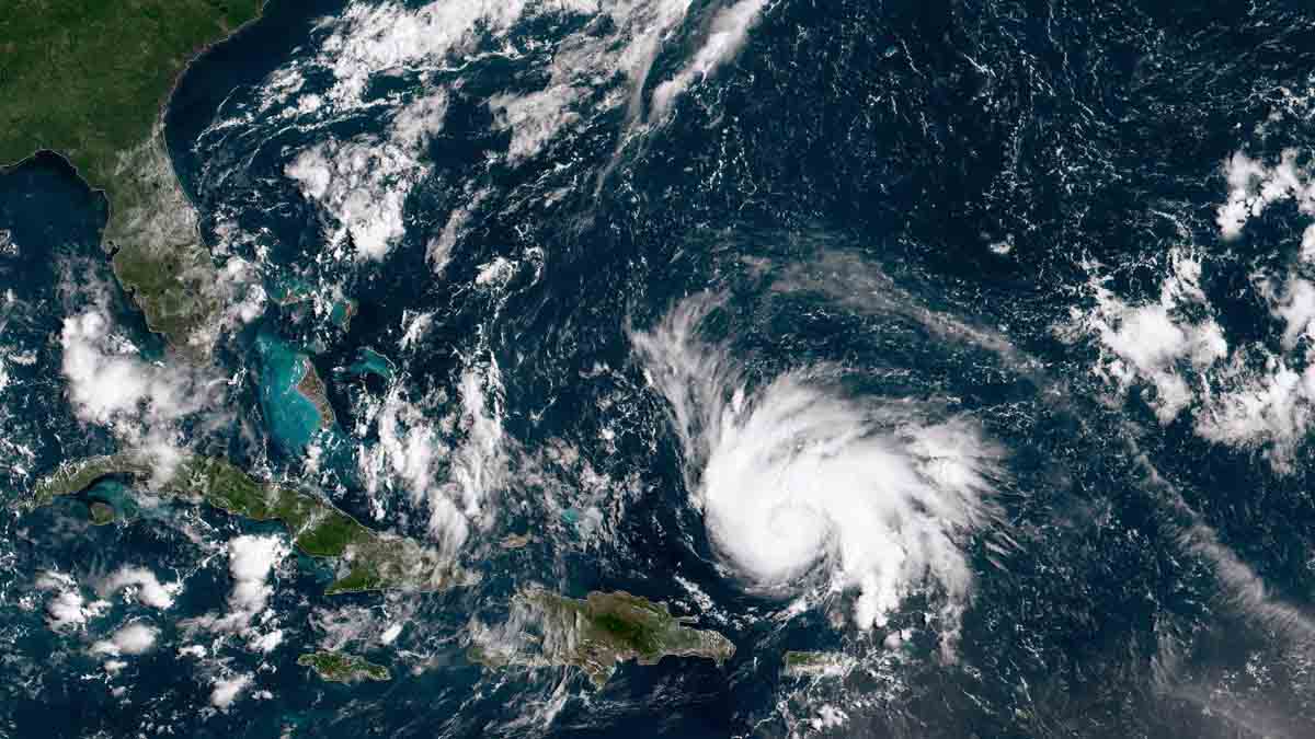
As we come to the end of July, the tropical Atlantic remains in a prolonged dormant stretch.
The last tropical storm was named Colin. It was very short-lived, lasting all of one day, and dissipated near the Carolinas on July 3rd.
Watch NBC6 free wherever you are
I can pretty much guarantee that we will blow past August 3rd without any new storms forming. It is hard to remember when the last time a hurricane season went a whole month without a storm.
The reason it has been quiet is twofold: upper-level winds are unfavorable for tropical storm formation, and sea surface temperatures are cooler than normal in the main development region of the Atlantic between Africa and the Antilles.
Get local news you need to know to start your day with NBC 6's News Headlines newsletter.
Curiously, winds aloft are supposed to be doing just the opposite.
During a La Niña—when the tropical Pacific Ocean cools and shifts wind currents across much of the planet—wind shear in the Atlantic tends to remain tame. Weaker winds above fledgling storms allows for them to grow tall and strong. So far this year, winds aloft have been more of a storm foe than a friend.
Meanwhile, cooler-than-normal water covers much of the ocean from the coast of Africa to the eastern end of the Caribbean. To strengthen, hurricanes need warm water above 80 degrees. But readings in the area remain mostly in the upper 70s—one to two degrees below normal.
Before we uncork the champagne, it’s important to point out that we may be suffering from recency bias. Hurricane seasons have historically behaved like the 2022 season has so far. But we’ve grown so used to the hyperactive seasons that get started even before the official start date of June 1st and go on to yield multiple storms and hurricanes before August, that this season suddenly feels welcomingly uneventful.
It’s all about perception, though. We’ve had three named storms so far, where the normal by this date is two. We’ve had zero hurricanes, where the normal by this date is also zero. You read that right—the first hurricane of the Atlantic season on average shows up by August 11. From this measure, the season is pretty much behaving as a hurricane season should.
As far as the number of days with a named storm, that’s where we’re running slow. We’ve had three and the normal by this date is eight. So, by that measure, we’ve had less than half of the activity in the Atlantic than we normally would.
June and July are *not* good predictors of how August, September and October will behave. Ninety percent of the season is ahead of us, even if we’re two months in. The period between August 15 and October 15 is the absolute peak of the year. Sea surface temperatures won’t necessarily remain cooler than normal in the main development region of the Atlantic. And they’re plenty hot in the Bahamas, western Caribbean and Gulf of Mexico. While upper-level winds may remain unfavorable for parts of August, long range models show that they could be much friendlier to developing hurricanes in September.
My message to you is to remain vigilant and don’t let your guard down. In this era of manmade climate change, any measly tropical storm can rapidly intensify into a catastrophe-inducing major hurricane. Irma, María, and Dorian and just recent examples of such monsters.
As the NBC 6 Hurricane Specialist, I’ll be standing by to deliver analysis and guidance throughout this season.


