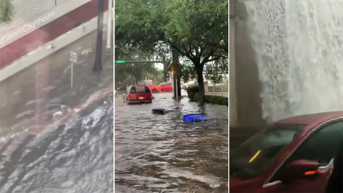
It’s still officially dry season in South Florida, but that doesn’t mean we can’t see an occasional heavy rain event.
Dry season stretches from October 15th to May 15th and is defined as the time of the year where only 30% of the yearly rainfall occurs.
The past few days have been anything but dry with some areas closing in on 10 inches of rain since Sunday evening.
Why are we seeing so much rain?
The Hurricane season is on. Our meteorologists are ready. Sign up for the NBC 6 Weather newsletter to get the latest forecast in your inbox.
We have a trigger. The trigger moved through South Florida in the form of a cold front late Sunday and then stalled across the Florida Straights - close enough to us here in South Florida to generate lift in the atmosphere.
Strong high pressure to the north combining with the stalled front has created a conveyer belt for showers and storms to hop on and push inland from the Atlantic waters.
This push of Atlantic moisture has been strong enough to flood out many spots across the region and bring wind gusts in excess of 40 mph.
Tuesday featured the rare combination of a wind advisory, a high surf advisory, a small craft advisory, a high risk of rip currents and flood advisories.
It looks like we will see one more day of deep moisture, spotty flooding and gusty winds.
The stalled front and trigger works back to the north as a warm front later Wednesday and should be well north of South Florida Wednesday night.
With the trigger gone and winds switching to the southwest, not only will we dry out but we will warm up quickly.
Afternoon temperatures will bounce from the upper 70s right into the upper 80s and maybe even close to 90. You’ll be wishing for another cold front before you know it!


