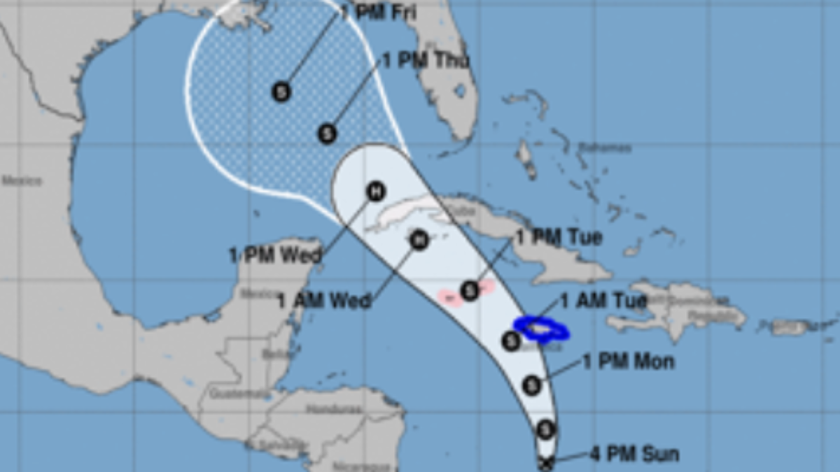
A system in the Caribbean became Tropical Storm Rafael Monday and was expected to become a hurricane later in the week, forecasters said.
Rafael had maximum sustained winds of 45 mph as it moved to the north about 120 miles south of Kingston, Jamaica, according to the latest update from the National Hurricane Center.
Watch NBC6 free wherever you are
A tropical storm watch was issued for the Lower and Middle Florida Keys from Key West to west of the Channel 5 Bridge, and for the Dry Tortugas for Rafael.
The storm is expected to bring heavy rain to Jamaica and the Cayman Islands before strengthening to a hurricane and likely hitting Cuba, forecasters said.
Get local news you need to know to start your day with NBC 6's News Headlines newsletter.
A hurricane warning was in effect for the Cuban provinces of Pinar del Rio, Artemisa, La Habana, Mayabeque, Matanzas, and the Isle of Youth, as well as the Cayman Islands, while a tropical storm warning was in effect for Jamaica and the Cuban provinces of Villa Clara, Cienfuegos, Sancti Spiritus, and Ciego de Avila, the NHC said.
HURRICANE SEASON
According to the NHC, the system was expected to be near Jamaica later Monday and by late Monday and the Cayman Islands on Tuesday and Wednesday.
The NHC's potential track showed the system moving into the Gulf of Mexico.
Heavy rainfall will affect the western Caribbean with totals of 3 to 6 inches and up to 9 inches expected locally in Jamaica and southern Cuba. Flooding and mudslides are possible in those areas.
Heavy rains will reach Florida and adjacent areas of the southeast U.S. by mid- to late week, the center said.
Tropical storm conditions are possible in the Lower and Middle Florida Keys beginning late Wednesday or Wednesday night, the NHC said.
Rafael is the 17th named storm of the 2024 Atlantic hurricane season.


