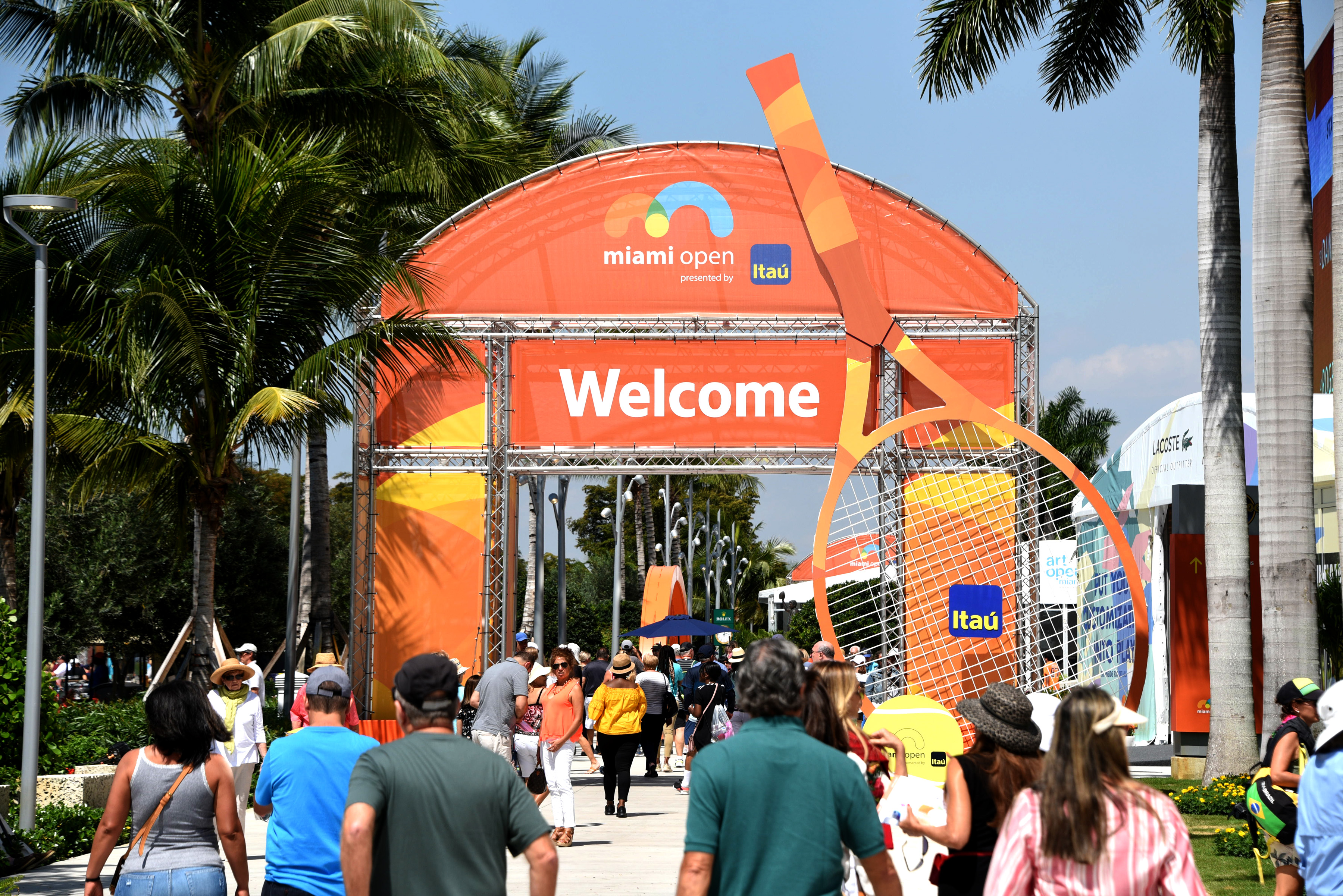
In preparation for a busy weekend in South Florida with different events taking place in our cities, it looks like we’ll be in the crosshairs for some active weather Friday and Saturday.
A warm front is coming our way. An area of low pressure will work across the northern Gulf of Mexico late Thursday and push a warm front across our area on Friday.
This will spread tropical air across South Florida, with the heaviest rain and best chance for thunderstorms by the second half of the day.
Warm fronts can bring severe weather, so we will have to watch this closely.
The Hurricane season is on. Our meteorologists are ready. Sign up for the NBC 6 Weather newsletter to get the latest forecast in your inbox.
As of this writing, the Storm Prediction Center has us in what is known as a "marginal risk" for severe weather on Friday.
This means the probability of severe weather is low, but not zero.
Specifically, we are looking at less than a 10% chance of severe weather with damaging wind gusts and isolated tornadoes as the primary impacts.
This weekend in South Florida
Friday with the low-pressure center, there is a chance for isolated tornadoes, strong wind, and flooding. It's expected to start raining during the evening, although activity could start as early as 10 a.m.
Worst of the storm is expected to move in late Friday evening. Rainfall looks to be between 3” and 5”+ inches. This could lead to flooding, especially in low-lying areas.
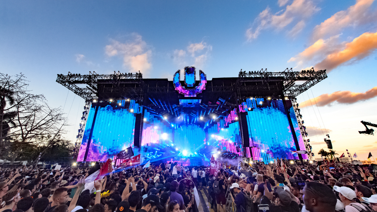
This is important to have in mind if you’re planning to attend an event such as Ultra, which is taking place at Bayfront Park in Downtown Miami, an area that is not strange to flooding.
We will stay locked into this unstable air mass into Saturday, with periods of heavy rain possible throughout the day.
By the end of the day, things will look to clear out and we improve by the second half of the weekend.
It's still early, so stay with NBC6 and the First Alert Weather Team as we continue to analyze the data and fine tune the forecast.


