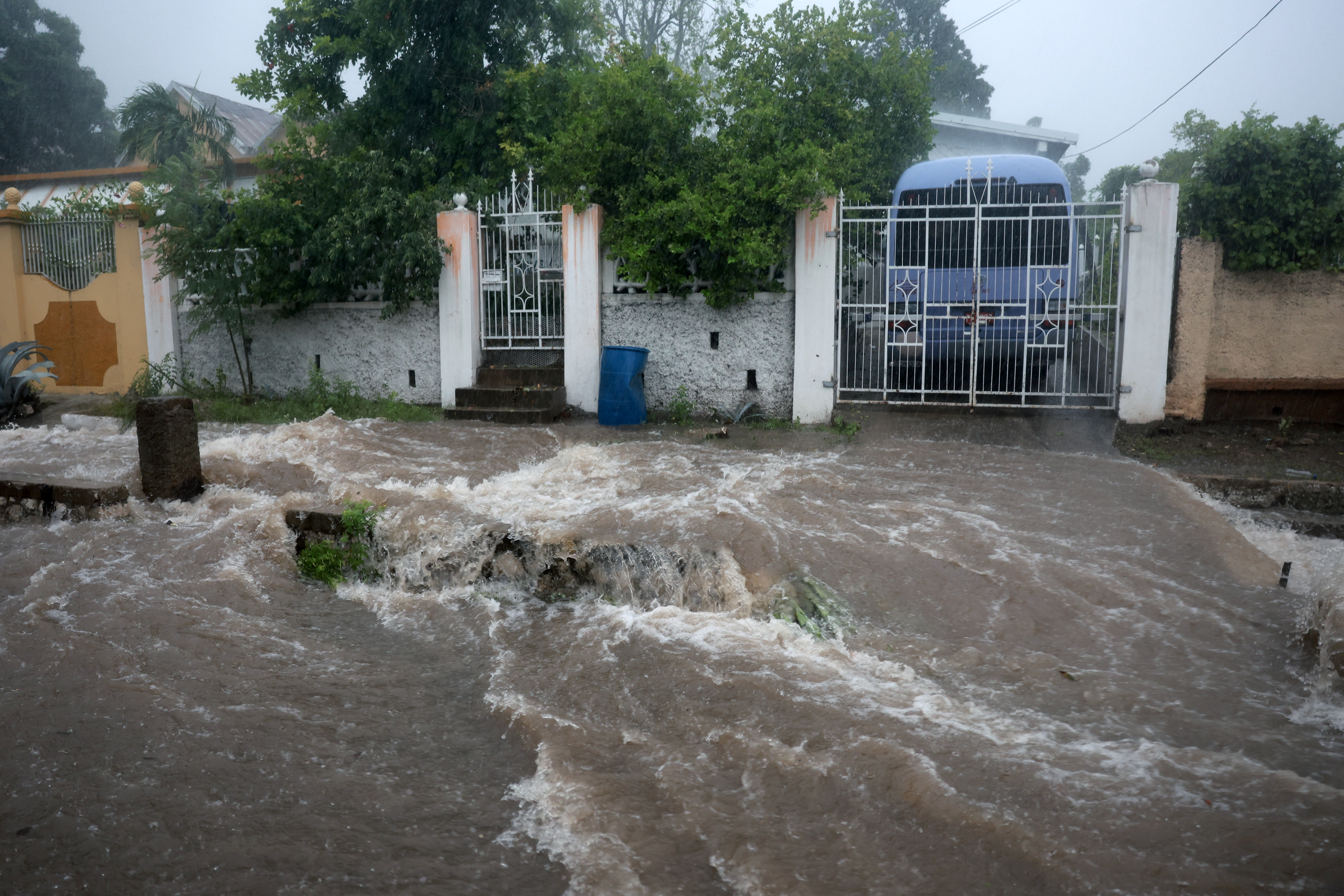
A day after deadly Hurricane Beryl pounded Texas, experts at Colorado State University on Tuesday increased their storm forecast for what was already expected to be an above-average hurricane season.
The university’s Department of Atmospheric Science added two named storms and a major hurricane to its outlook for the 2024 season, which started June 1 and will run through November.
The department said it needed to “slightly” increase projections because of near-record warm Atlantic and Caribbean waters and a lack of strong vertical wind shear that helps temper hurricane development. Warm waters fuel hurricanes.
HURRICANE SEASON
The Hurricane season is on. Our meteorologists are ready. Sign up for the NBC 6 Weather newsletter to get the latest forecast in your inbox.
“Extremely warm sea surface temperatures provide a much more conducive dynamic and thermodynamic environment for hurricane formation and intensification,” the department said in an online post.
The department also described Hurricane Beryl as “a likely harbinger of a hyperactive season.” While Beryl made landfall in Texas as a Category 1 storm, it earlier set a record by becoming the earliest Category 5 storm in a calendar year as it tore through the Caribbean and parts of Mexico.
Including Beryl and short-lived tropical storms Alberto and Chris, the department’s forecast now calls for 25 named storms this season, up from 23 when the first forecast was released in April.
Chris made landfall near Veracruz, Mexico, shortly after reaching tropical-storm strength on June 30. Alberto affected parts of Texas, Louisiana and Mexico in mid-June.
The university department’s new forecast includes 12 hurricanes, up from the initial estimate of 11. Also, six hurricanes, instead of the initially forecast five, are projected to reach Category 3 or higher status to qualify as major systems.
Expressing “above-normal confidence” in its projections, the department said it continues to anticipate a “well above-average probability for major hurricane landfalls along the continental United States coastline and in the Caribbean.”
But with more than one-sixth of the storm season finished, the projection of a U.S. landfall has dipped slightly, from 62 percent when the outlook was first released in April to 57 percent, according to the department.
Most years, the average is 43 percent.
The landfall projection for the U.S. coastline that includes parts of Florida south and east of Cedar Key is now at 31 percent, down from the earlier 34 percent. Since 1880, the yearly average is 21 percent.
Colorado State isn’t alone in predicting a highly active hurricane season.
The National Oceanic and Atmospheric Administration forecast up to 25 named storms, with as many as 13 reaching hurricane strength and four to seven packing Category 3 or stronger winds.
Experts at the University of Pennsylvania’s School of Arts & Sciences, meanwhile, forecast an eye-opening 33 named storms.
The 2023 season was the fourth most-active on record with 20 named storms, including seven that reached hurricane strength and three major storms.
By comparison, seasons from 1991 to 2020 averaged 14.4 storms a year, with an average of 7.2 reaching hurricane strength.


