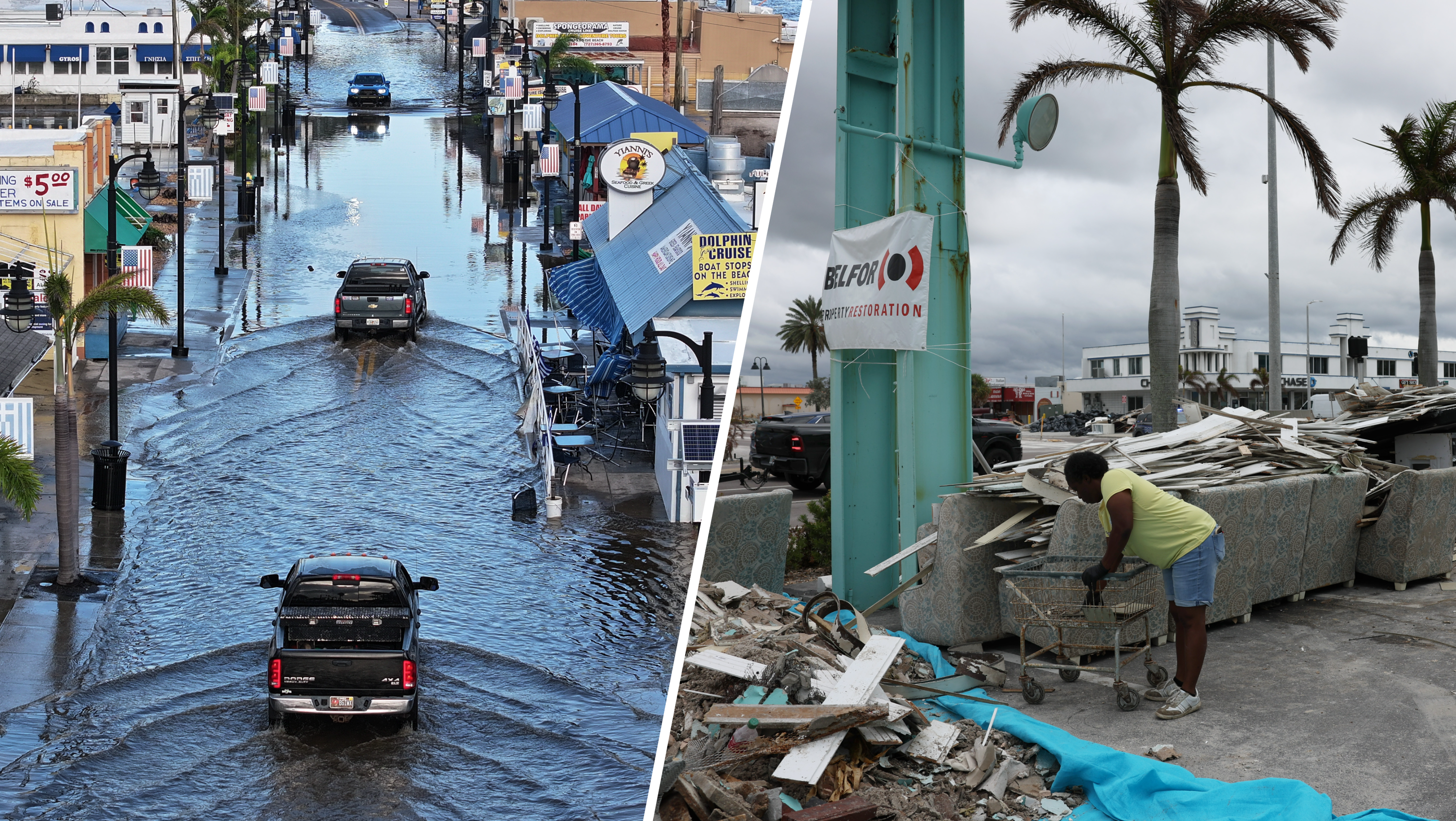
Gov. Rick Scott declared a state of emergency for Florida Saturday ahead of Tropical Storm Isaac.
"That's standard protocol to make sure we can coordinate our efforts with federal, state and local so we can have the proper response," he said.
As Tropical Storm Isaac swept across Haiti, killing at least three people, forecasters continued issuing new watches and warnings for parts of Florida.
As of 11 p.m., Isaac was located about 65 miles northeast of Camaguey, Cuba, and 340 miles east-southeast of Key West. The center of Isaac was nearing the north coast of Eastern Cuba. Isaac had maximum sustained winds at 60 mph and was moving northwest at 17 mph.
The storm was expected to strengthen over the next 48 hours and be at or near hurricane strength when it reaches the Florida Keys.
A hurricane warning was issued for the Florida Keys, including the Dry Tortugas, the west coast of Florida from Bonita Beach southward to Ocean Reef and Florida Bay, according to the National Hurricane Center.
A hurricane watch was also extended for the Florida east coast from Golden Beach southward to Ocean Reef, and Andros Island in the Bahamas, the hurricane center said.
Local
A hurricane watch was issued for Miami Beach and part of Miami-Dade County but no evacuations have been issued.
A tropical storm warning was in effect for Florida's east coast from Sebastien Inlet southward to Ocean Reef, the Florida west coast from North of Bonita Beach to Tarpon Springs, including Tampa Bay, and remains in place for Broward and Miami-Dade counties. The tropical storm warning was also in place for the Cuban provinces of Ciego de Avila, Sancti Spiritus, Villa Clara, Camaguey, Las Tunas, Granma, Holguin, Santiago de Cuba and Guantanamo, the Bahamas and Turks and Caicos Islands.
A tropical storm watch was in effect for the Florida east coast north of Sebastian Inlet to Flagler Beach, the Florida west coast and the Florida Panhandle north of Tarpon Springs to Indian Pass and the Cuban provinces of Matanzas and Cienfuegos.
A track closer to or over Cuba would likely weaken the storm opposed to a track over water.
South Floridians were urged to monitor the progress of Isaac throughout the weekend. Winds will increase locally early Sunday and peak during the afternoon and evening. Gale force winds are currently forecasted to end Monday morning.
"I think the general scenario is going to hold in terms of it moving roughly parallel to the northern coast of Cuba in a northwestern direction and the models can bounce around and move, but we are not doing to try to convey a consistent forecast. I don't think that's going to cause us to change any of the warnings or watches for the southern part of Florida later today," said hurricane center director Rick Knabb.
In addition to wind, abundant rain is expected with 4 to 8 inches in South Florida. There may also be higher amounts, perhaps up to 12 inches.
Scott said evacuations would be determined locally.
"It's very important that everybody watch the weather, listen to local officials because they'll be making the decisions," he said."Everybody has to get ready for this."
Republican National Committee Chairman Reince Priebus announced Saturday that the bulk of the GOP's convention in Tampa will be delayed until Tuesday afternoon due to Isaac.
Priebus said the convention will convene briefly Monday and then immediately recess until Tuesday afternoon, once the storm is expected to have passed.
GOP Delays Bulk of Convention Due to Isaac
Some 70,000 delegates, journalists and protesters are expected at the event.
Miami-Dade Mayor Carlos Gimenez issued an evacuation order for residents living in mobile parks and low-lying areas prone to flooding Saturday afternoon. Public schools in Miami-Dade and Broward counties will be closed Monday.
Gimenez said tropical storm force winds from Isaac could begin in South Florida as early as tomorrow morning. He urged residents Saturday to begin putting up their shutters, gather supplies and fill up their cars with gas.
"You should begin putting up your shutters now. Even tropical storm winds can cause damage so you shouldn’t wait until the last moment to protect your home," he said.
Miami International Airport will remain open but seven flights had been cancelled on Saturday. The Fort Lauderdale-Hollywood International Airport was also to remain open, but 120 flights were cancelled between Friday and Sunday. Click here for status of flights there.
In Broward, Chuck Lanza, the director of the Broward County Emergency Management Division, encouraged residents to brace for tropical storm conditions.
"We're going to have potentially tropical storm winds for 24 hours," he said, adding that he would be going home to put up his hurricane shutters.
"All the personal preparedness stuff they should have taken care of already - their food, their water, their supplies - what we want them to do now is to look at their house and start protecting their homes," he said.
Two special needs shelters will open at 3 p.m. for residents with medical conditions or disabilities.
Residents pre-registered for the shelters will be contacted and given specific locations. For additional information call (954) 831-4000.
In Miami Beach, officials said the city was in an evacuation zone, even though no orders had been issued. They urged residents to get supplies for each member of the household for at least three days.
Monroe County began strongly recommending that visitors leave the Keys if they can, but officials did not issue a mandatory evacuation. Four shelters in Monroe will open at 2 p.m.
Officials said Saturday residents living in low-lying areas, mobile homes and boats should seek shelter. Snake Creek Bridge will close at 3 p.m. and parks and beaches will close at 2 p.m.
Key West International Airport and Marathon Airport will close at 7 p.m. and reopen when the tropical storm winds subside.
Meanwhile in South Florida, forecasters said residents should not let their guard down and begin preparing for the storm.
"Today is really the day when we need to start doing our preparations because by tomorrow, especially for mainland South Florida, at least by late tomorrow morning, we could already be starting to experience the first tropical storm winds," Robert Molleda of the National Weather Service told NBC 6.
"It's a pretty large storm," Molleda said. "That tropical force wind field, even if the center passes over the lower Keys, Miami-Dade and Broward County will likely see some tropical force storm winds, probably for most of the day on Sunday."
The center of Isaac is expected to move near or over eastern Cuba later Saturday. Forecasters expect Isaac to become a hurricane Sunday.
Florida Power & Light said they had 7,700 workers ready to respond, including 5,200 line and vegetation workers.
The storm brought heavy rain to Haiti and the Dominican Republic.
A woman and a child died in the town of Souvenance, Sen. Francisco Delacruz told a local radio station. A 10-year-old girl died in Thomazeau when a wall fell on him, said Marie Alta Jean-Baptiste, director of Haiti's Civil Protection Office.


